

More Top Stories

‘Nothing to worry about’: Prime Minister Brown on China agreement
16 February 2025

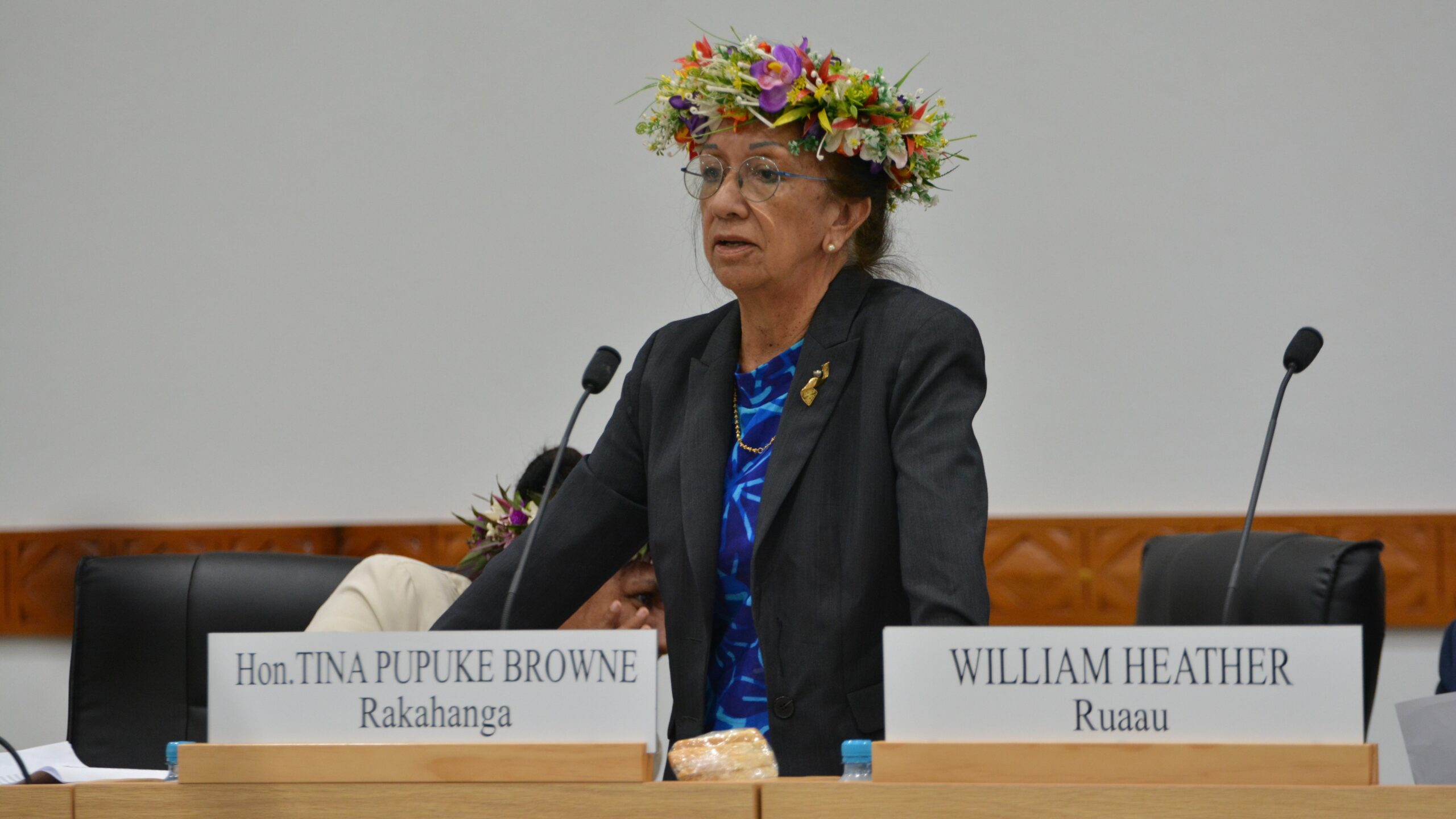
‘Serious questions’: Opposition challenges China partnership
15 February 2025

No-confidence motion against PM and his Cabinet faces delays
15 February 2025


Ruta Mave: People’s Republic of China red flag
10 February 2025
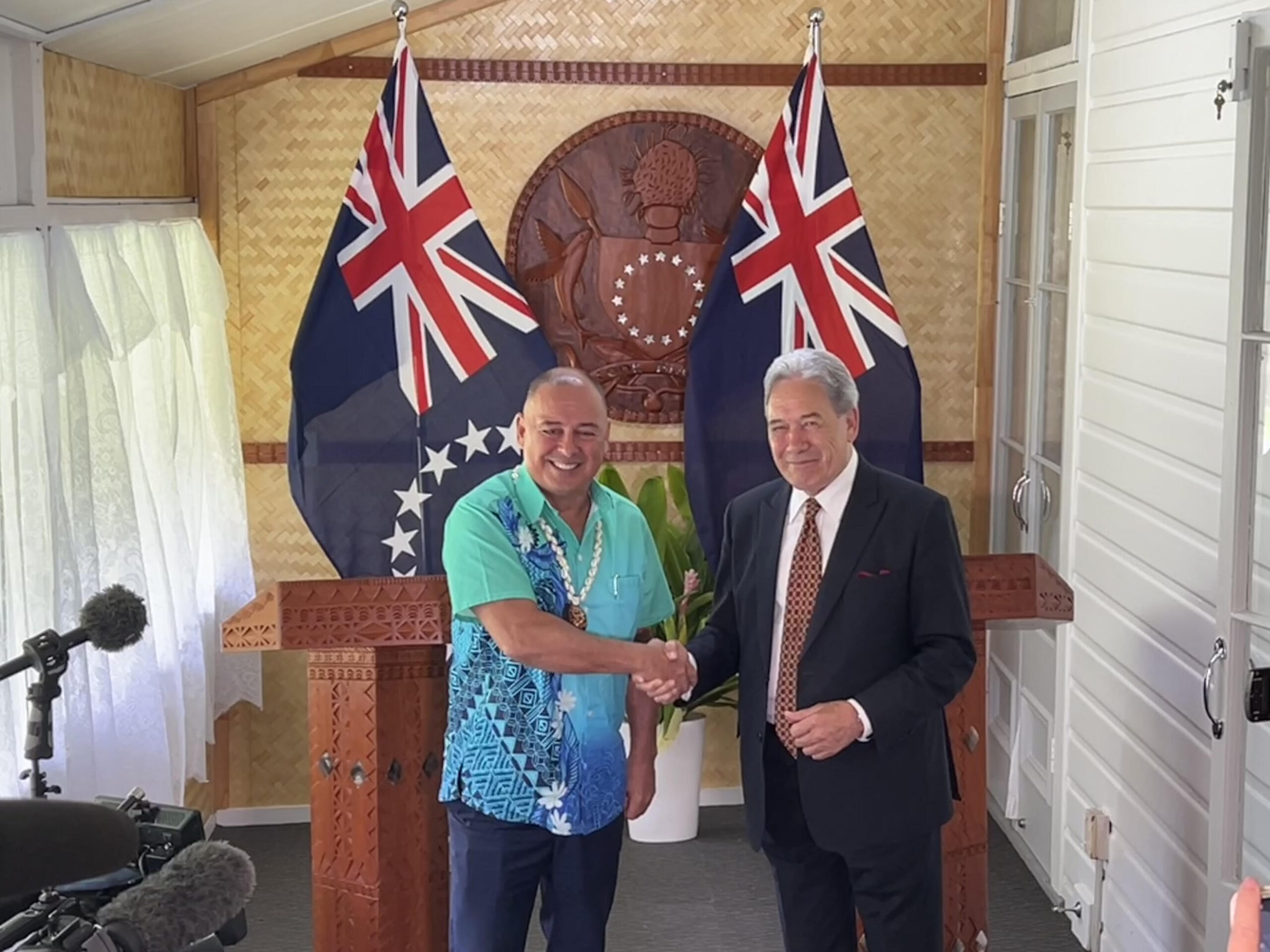

No debt in China deal
8 February 2025

Thomas Wynne: Haka with the taniwha or dance with the dragon?
8 February 2025

‘Paedophile’ gets 13 years in prison
22 January 2025
Thomas Wynne: Where were our leaders while children suffered?
25 January 2025


$541.7m tourism earnings
25 January 2025

Cook Islands passport proposal
6 January 2025


Top cop position advertised
7 December 2024

Police need numbers and bigger budget
9 December 2024

Niki Rattle: A call for stronger human rights protections
10 December 2024

Solid and Hazardous Waste Bill referred to Parliament committee
10 December 2024


DPM defends CIIC finance and travel policies
6 December 2024


Cook Islands has its first mosque
14 November 2024

CI Muslim opens up about her faith and journey
16 November 2024

RAC to address mosque legality
19 November 2024

I don’t expect much change: PM Brown on US Elections
6 November 2024


Fifth weekly Sydney flight to Rarotonga announced
23 October 2024
CIIC directors seek $350,000 in damages over defamatory claims
21 October 2024
Man found guilty of rape, burglary
24 September 2024

Tenants face water bill burden
8 October 2024


Concerns over Minister’s role in inmate work releases: PAC
5 October 2024

Tourism contribution set to surpass half-billion dollar mark
25 September 2024

Parliament Clerk sparks outrage over deep sea mining statement
23 September 2024

Deep sea dilemma: Cook Islanders weigh the cost of mineral riches
21 September 2024

Anxiety on the rise: Cook Islands faces mental health challenge
7 September 2024

Cook Islands deep sea mining poll sparks controversy
7 September 2024

MCI rejects ‘dark fleet’ label
3 August 2024
The US Geological Survey’s Hawai’ian Volcano Observatory has been keeping a close eye on an undersea volcano in the Northern Marianas that has been showing signs of activity in recent days.
According to a weekly summary issued by the observatory, recent seismic activity “almost certainly heralds an eruption”.
According to the US Geological Survey report, seismometres on the islands are recording high levels of seismicity and the most likely source of the volcanic activity is the Ahyi seamount, which is about 20km southeast of Farallon de Pajaros.
Ahyi rises to within 64 m (210 ft) of the ocean surface and is associated with several reports of possible eruptions in historical times, the most recent in 2001.
“The seismic signals almost certainly herald an eruption. In fact, submarine explosions were heard by scuba divers who are conducting coral reef research in the area,” the report says.
“The divers even felt the shock waves from the explosions, and one of the most powerful ones reverberated through the hull of the NOAA base ship, Hi’ialakai, leading the crew to think something had happened to the ship. Shipboard personnel also reported a large sulfur slick on the southeast coastline of Farallon de Pajaros.”
The CNMI emergency management office and the volcano observatories of the USGS have been working together for over 30 years to establish volcano monitoring networks and assess volcanic hazards in the Mariana Islands.
Interspersed among the volcanoes that rise above sea level to form the Northern Marianas arc are many submarine volcanoes.
These arcs, such as the Aleutians and the Japanese archipelago, are formed at subduction zones—boundaries where one tectonic plate plunges beneath another.
Reports of discoloured water throughout the Mariana arc are common, indicating that the area may experience frequent submarine eruptions.
A dramatic, recent example is the 2010 eruption of South Sarigan seamount, which sent an eruption plume up to 12km above sea level.
The plume intersected many commercial air traffic routes, raising concern that the abrasive ash fragments could damage aircraft or even stall their engines.
In addition, the eruption posed a potential hazard to ocean-going vessels, as it produced a large area of discoloured water, possibly including a raft of pumice – a type of rock that can be produced in explosive volcanic eruptions.
A recent submarine eruption of Havre seamount north of New Zealand in 2012 created a 20,000 square-kilometre raft of pumice – about twice the area of the island of Hawai’i – that eventually spread to about 4 million square-kilometres as it broke up.
The USGS says it is possible, but not certain, that the current unrest near Ahyi seamount will escalate into a vigorous eruption, with the creation of pumice rafts, and even an explosive eruption column rising above sea level.
If this happens, there are possible threats of local tsunami sand ash fallout from the eruption plume.