

More Top Stories

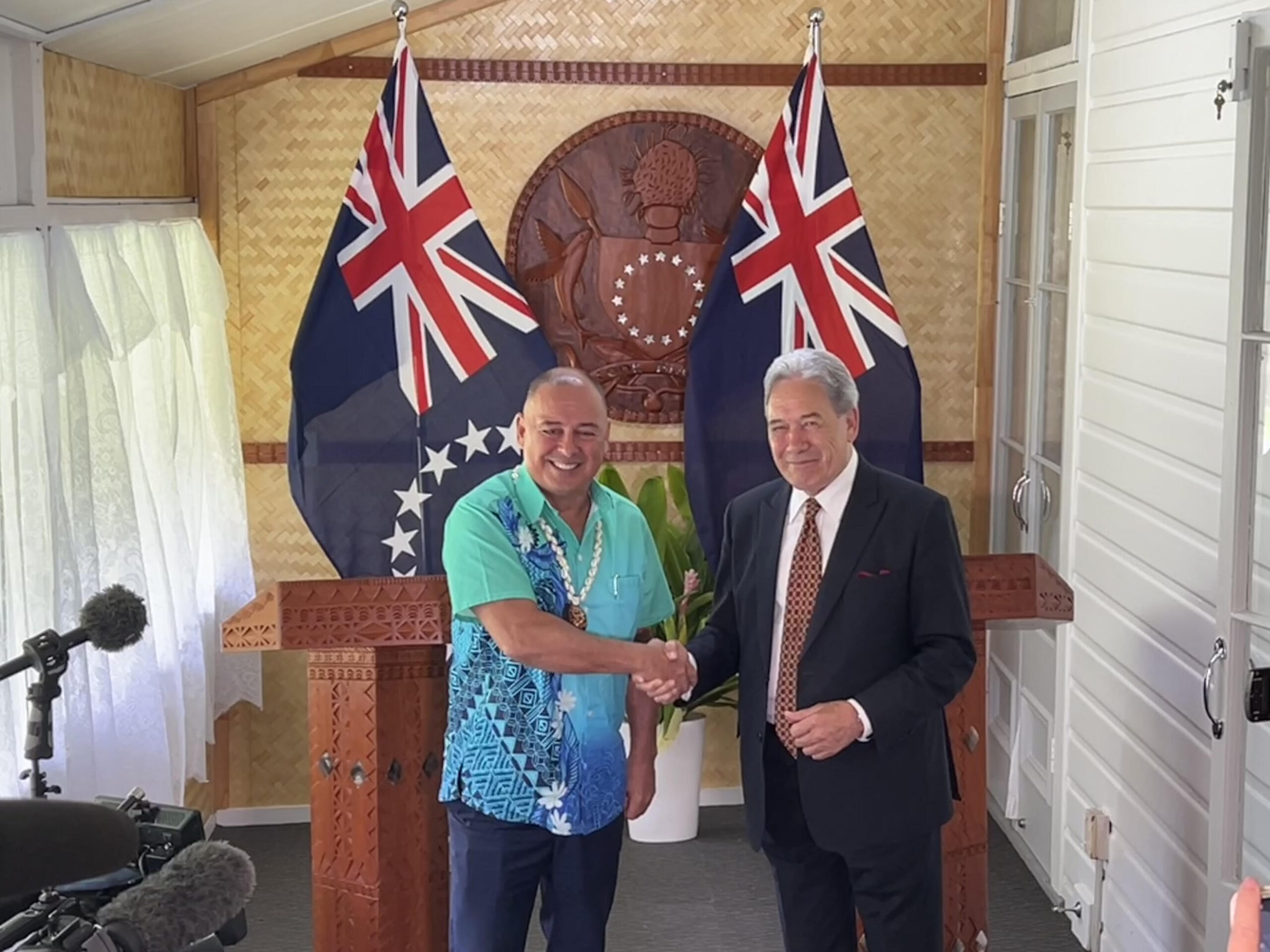
‘Nothing to worry about’: Prime Minister Brown on China agreement
16 February 2025

‘Serious questions’: Opposition challenges China partnership
15 February 2025

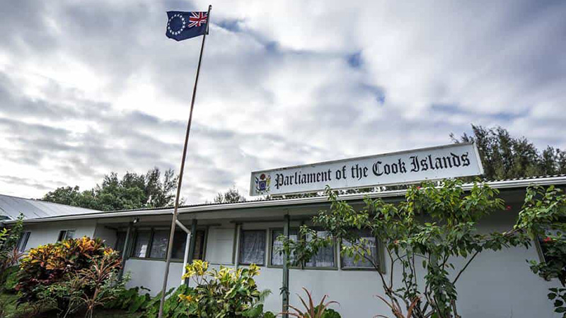
No-confidence motion against PM and his Cabinet faces delays
15 February 2025


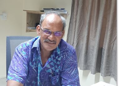
Ruta Mave: People’s Republic of China red flag
10 February 2025

No debt in China deal
8 February 2025

Thomas Wynne: Haka with the taniwha or dance with the dragon?
8 February 2025

‘Paedophile’ gets 13 years in prison
22 January 2025
Thomas Wynne: Where were our leaders while children suffered?
25 January 2025


$541.7m tourism earnings
25 January 2025

Cook Islands passport proposal
6 January 2025


Top cop position advertised
7 December 2024

Police need numbers and bigger budget
9 December 2024

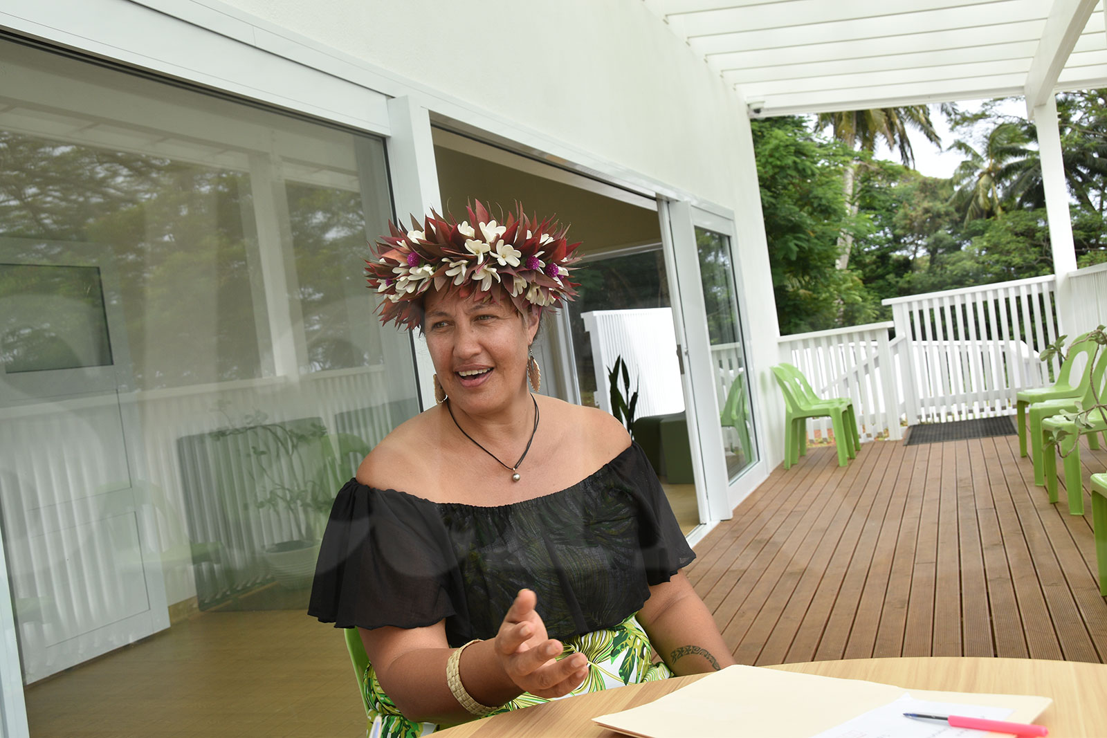
Niki Rattle: A call for stronger human rights protections
10 December 2024

Solid and Hazardous Waste Bill referred to Parliament committee
10 December 2024


DPM defends CIIC finance and travel policies
6 December 2024

Cook Islands has its first mosque
14 November 2024

CI Muslim opens up about her faith and journey
16 November 2024

RAC to address mosque legality
19 November 2024

I don’t expect much change: PM Brown on US Elections
6 November 2024


Fifth weekly Sydney flight to Rarotonga announced
23 October 2024
CIIC directors seek $350,000 in damages over defamatory claims
21 October 2024
Man found guilty of rape, burglary
24 September 2024

Tenants face water bill burden
8 October 2024


Concerns over Minister’s role in inmate work releases: PAC
5 October 2024

Tourism contribution set to surpass half-billion dollar mark
25 September 2024

Parliament Clerk sparks outrage over deep sea mining statement
23 September 2024

Deep sea dilemma: Cook Islanders weigh the cost of mineral riches
21 September 2024
Anxiety on the rise: Cook Islands faces mental health challenge
7 September 2024

Cook Islands deep sea mining poll sparks controversy
7 September 2024

MCI rejects ‘dark fleet’ label
3 August 2024
SAIPAN – The National Weather Service in Guam has ruled out that Typhoon Soudelor brought in super typhoon or Category 5-strength winds when it hit Saipan last week, saying damage sustained by the island was more nsistent with a Category 3 typhoon.
However, the typhoon was unique for the intensity of its power despite being small in physical size.
Chip Guard, Warning Coordination Meteorologist of the NWS Forecast Office Guam, and Dr Mark Lander of the Water and Environmental Research Institute said damage on the island, as well as the pressure recorded, was consistent with a Category 3 – which has winds of up to 170 and gusts of 240kph.
Lander said they ruled out a super typhoon because there needed to be damage they weren’t able to see on the island.
Despite Saipan being badly hit, most of the damage was “architectural damage” rather than “structural damage”, they said. They also pointed out that the storm surge was “negligible.”
While some residents commented that what they experienced was similar to a tornado, the meteorologists say there was none of that with Soudelor.
“All the stripes and patches of damage just come with the terrain,” Lander said. “It’s not part of the typhoon doing that. It’s the wind interacting with the island.”
“The terrain can do a lot of different things to the winds. Anytime you have a slope terrain, the winds accelerate up and they accelerate down,” Guard said.
Guard described Soudelor as a “unique” typhoon.
“It was an incredibly small storm, very intense. It’s a storm we really have not seen go over populated areas,” Guard said.
He pointed out that most typhoons are 30 kilometres high and over 300 kilometres wide – but Soudelor was as wide as it was high—even less than 30 kilometres in height and in width.
“Our first shock was flying over the northern part of Tinian and not seeing a single piece of damage. The trees were just perfect. That shows you how incredibly small this storm was,” Guard said.
“We seldom see these kinds of storms and we kind of wondered what’s inside them because they’ve got an eye so small the satellite has trouble resolving it. We call it the pinhole eye,” he added.
Guard said they really “don’t know what’s inside” and “how these things behave.”
Asked about being wrong with their forecast, Guard said they were indeed “wrong.”
“We did forecast it wrong. It’s called a forecast. We don’t know the answer but we give you the best information that we have at the time,” Guard said.
“All the weather agencies have the same answer and it just happened to be the wrong answer with regards to how fast it was intensifying,” he added.
“The rate that it was intensifying was much faster than what we expected it to intensify. So really, when we realised how strong the winds were getting, it was really too late for you all to do anything except hunker down and wait until the worst of it passed.”
With their assessment data, the NWS will be making a report and will work with other people such as theoreticians in studying the typhoon.
“We’re going to have to work with some of our colleagues back in MIT and some of the universities to look at what can happen in a storm that has these characteristics. We’ve never seen one before,” Guard said.