


More Top Stories

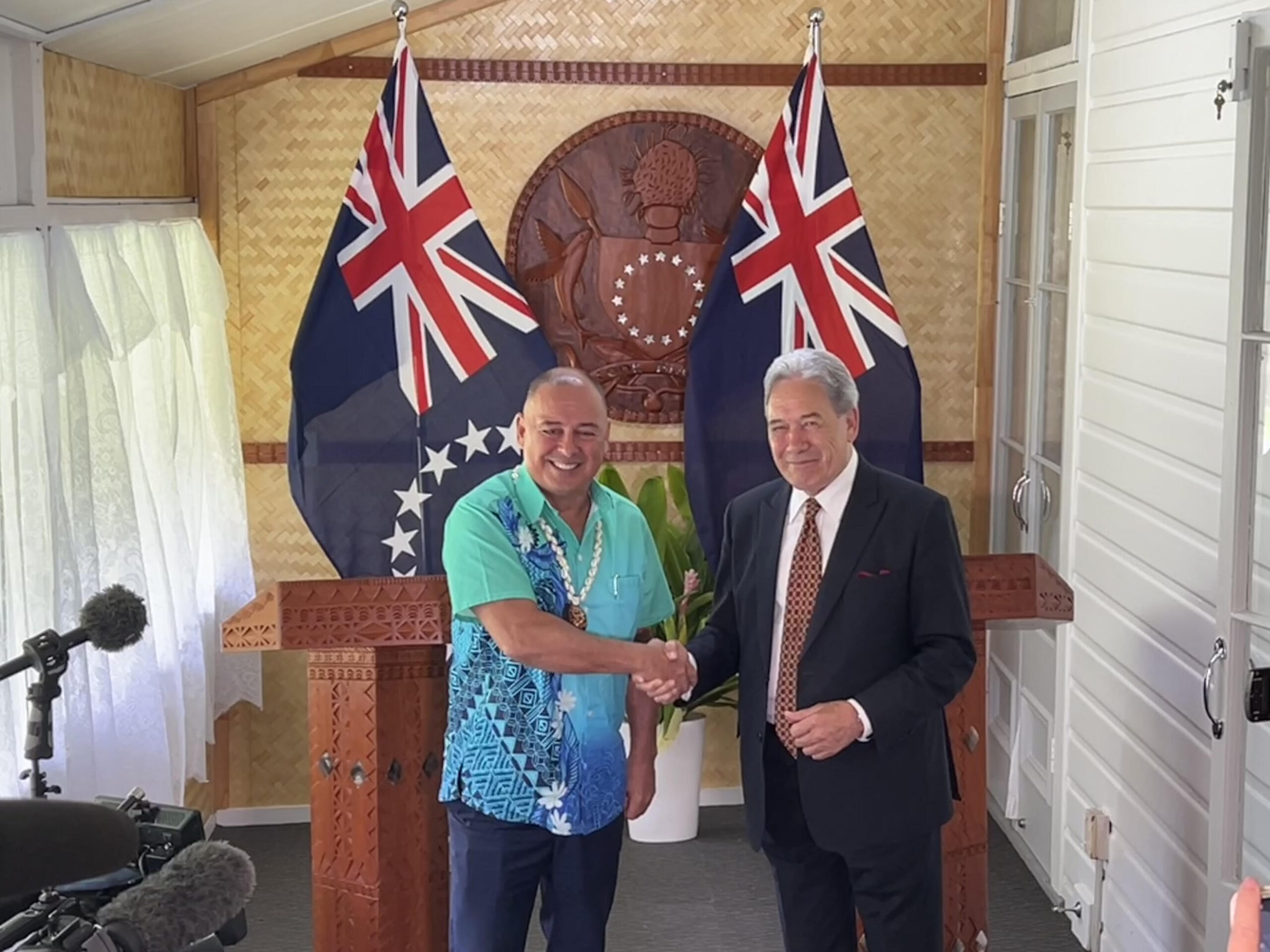
‘Nothing to worry about’: Prime Minister Brown on China agreement
16 February 2025

‘Serious questions’: Opposition challenges China partnership
15 February 2025

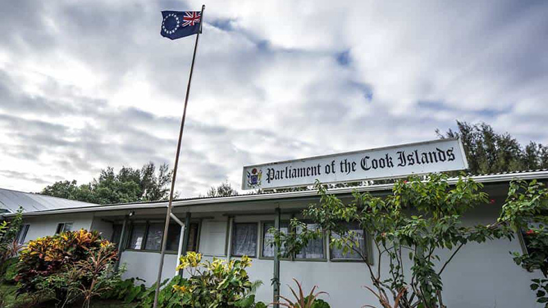
No-confidence motion against PM and his Cabinet faces delays
15 February 2025


Ruta Mave: People’s Republic of China red flag
10 February 2025

No debt in China deal
8 February 2025

Thomas Wynne: Haka with the taniwha or dance with the dragon?
8 February 2025

‘Paedophile’ gets 13 years in prison
22 January 2025
Thomas Wynne: Where were our leaders while children suffered?
25 January 2025


$541.7m tourism earnings
25 January 2025

Cook Islands passport proposal
6 January 2025


Top cop position advertised
7 December 2024

Police need numbers and bigger budget
9 December 2024

Niki Rattle: A call for stronger human rights protections
10 December 2024

Solid and Hazardous Waste Bill referred to Parliament committee
10 December 2024


DPM defends CIIC finance and travel policies
6 December 2024


Cook Islands has its first mosque
14 November 2024

CI Muslim opens up about her faith and journey
16 November 2024

RAC to address mosque legality
19 November 2024

I don’t expect much change: PM Brown on US Elections
6 November 2024


Fifth weekly Sydney flight to Rarotonga announced
23 October 2024
CIIC directors seek $350,000 in damages over defamatory claims
21 October 2024
Man found guilty of rape, burglary
24 September 2024

Tenants face water bill burden
8 October 2024


Concerns over Minister’s role in inmate work releases: PAC
5 October 2024

Tourism contribution set to surpass half-billion dollar mark
25 September 2024

Parliament Clerk sparks outrage over deep sea mining statement
23 September 2024

Deep sea dilemma: Cook Islanders weigh the cost of mineral riches
21 September 2024

Anxiety on the rise: Cook Islands faces mental health challenge
7 September 2024

Cook Islands deep sea mining poll sparks controversy
7 September 2024

MCI rejects ‘dark fleet’ label
3 August 2024
CAIRNS – Cyclone Nathan has intensified as it tracks closer to the far north Queensland coastline and is expected to become a category three by today.
Australia’s Bureau of Meteorology predicts the cyclone will then do an about-turn and track back out to sea on Friday.
But even if the core of the cyclone doesn’t cross the coast, the bureau is warning gale-force winds could still hit communities between Coen and Cape Tribulation tomorrow. Gales could extend north to Lockhart River and as far south as Port Douglas.
Flash flooding is also expected for the North Tropical Coast, Tablelands and Peninsula districts.
Some communities are expected to see total falls of 200-350mm in three days.
Emergency Services Minister Jo-Ann Miller urged residents in the far north to remain vigilant despite predictions the cyclone wouldn’t breach the coastline.
Flood waters caused by heavy rain could still wreak havoc on the state’s roads, and drivers should never risk driving through inundated roads, she said.
Queensland Fire and Emergency Services swift water teams are on stand-by across the region.
Miller said Cyclone Nathan could still wreak havoc without crossing the coast.
“I don’t mind sounding like a broken record on this - it’s dangerous to drive across flooded roads or to let your children play in floodwaters,” she said.