


More Top Stories


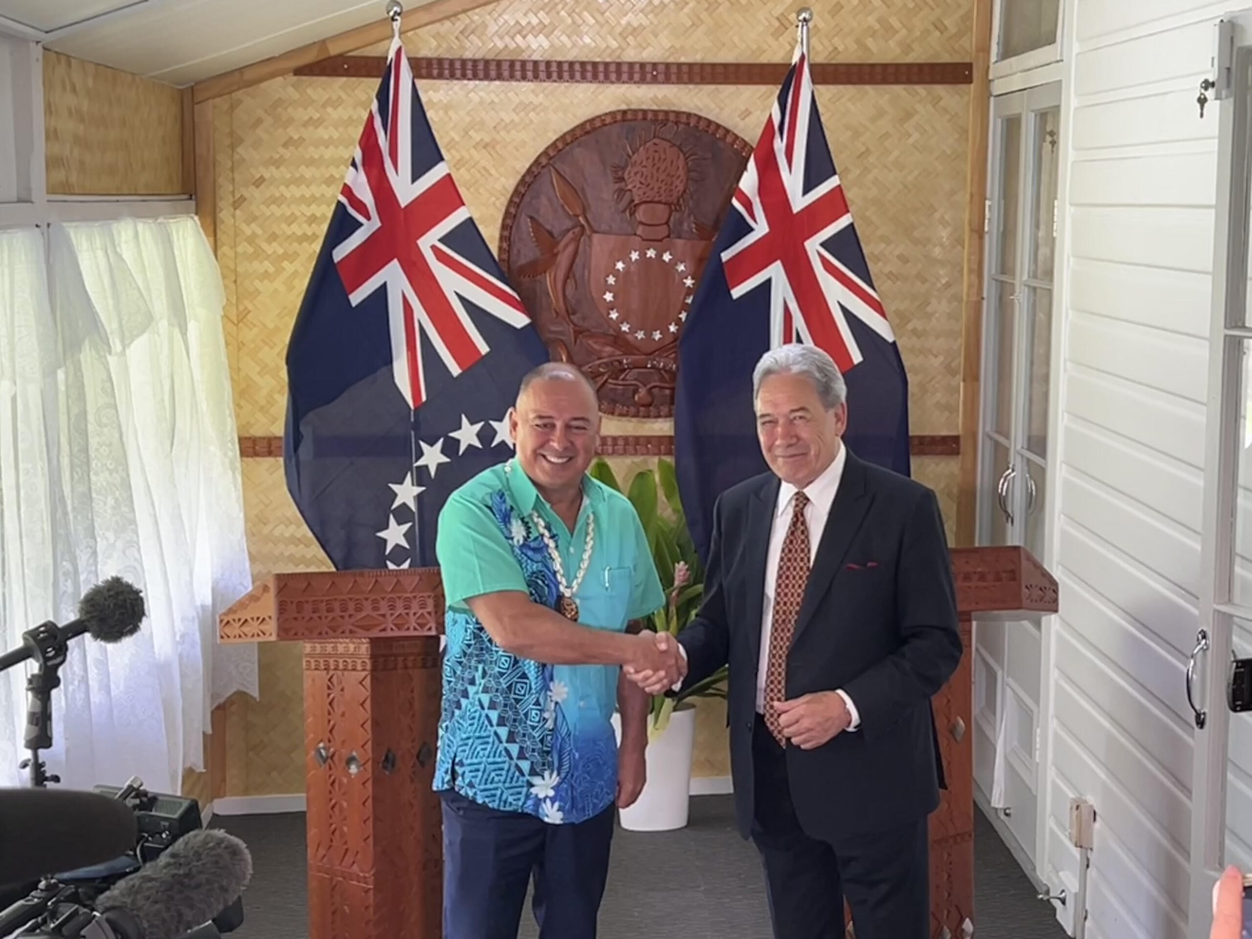
‘Nothing to worry about’: Prime Minister Brown on China agreement
16 February 2025

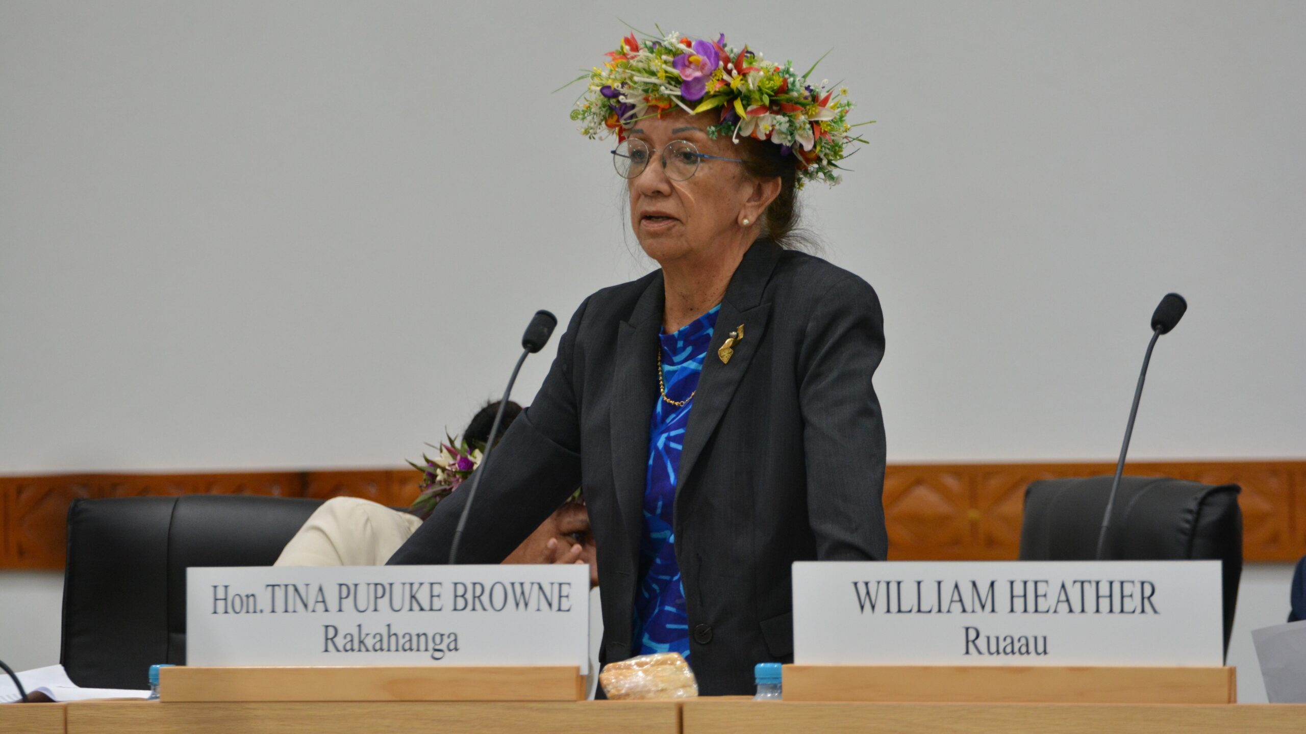
‘Serious questions’: Opposition challenges China partnership
15 February 2025

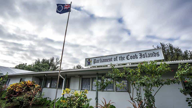
No-confidence motion against PM and his Cabinet faces delays
15 February 2025


Ruta Mave: People’s Republic of China red flag
10 February 2025

No debt in China deal
8 February 2025

Thomas Wynne: Haka with the taniwha or dance with the dragon?
8 February 2025

‘Paedophile’ gets 13 years in prison
22 January 2025
Thomas Wynne: Where were our leaders while children suffered?
25 January 2025


$541.7m tourism earnings
25 January 2025

Cook Islands passport proposal
6 January 2025


Top cop position advertised
7 December 2024

Police need numbers and bigger budget
9 December 2024

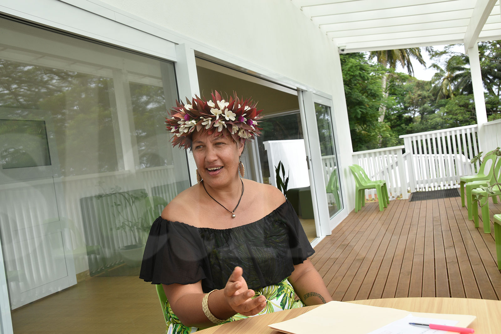
Niki Rattle: A call for stronger human rights protections
10 December 2024

Solid and Hazardous Waste Bill referred to Parliament committee
10 December 2024


DPM defends CIIC finance and travel policies
6 December 2024


Cook Islands has its first mosque
14 November 2024

CI Muslim opens up about her faith and journey
16 November 2024

RAC to address mosque legality
19 November 2024

I don’t expect much change: PM Brown on US Elections
6 November 2024


Fifth weekly Sydney flight to Rarotonga announced
23 October 2024
CIIC directors seek $350,000 in damages over defamatory claims
21 October 2024
Man found guilty of rape, burglary
24 September 2024

Tenants face water bill burden
8 October 2024


Concerns over Minister’s role in inmate work releases: PAC
5 October 2024

Tourism contribution set to surpass half-billion dollar mark
25 September 2024
Anxiety on the rise: Cook Islands faces mental health challenge
7 September 2024

MCI rejects ‘dark fleet’ label
3 August 2024
NEW ZEALAND – New Zealand has been warned to “batten down the hatches” as another stormbdars down on the country.
MetService is putting the South Island on alert again as heavy rain and damaging gales are set to lash already saturated regions from last night.
Forecasters were warning western areas of the South Island toexpect heavy rain with widespread gales across southern and central New Zealand.
The latest storm was expected on to move onto the deep south last night before crossing the rest of the country today.
The heaviest rain is forecast around Fiordland and the ranges of Westland, south of Otira, where up to 100mm is expected to fall overnight.
MetService is warning rivers and streams could rise quickly with possible flooding and slips.
On top of this a strong wind warning has been issued; northwest gales are expected to become severe gusting at 130kph in exposed parts of Fiordland, Southland, Otago and inland Canterbury.
Powerful and destructive gusts of more than 140kph are expected to batter the Canterbury high country.
MetService is warning winds of this strength are likely to damage trees, power lines and unsecured structures and make driving hazardous.
A severe wind watch is also in place for gales across most South Island regions and the lower North Island.
After the latest stormy front clears, Otago and Southland are expected to be further pummelled by strong westerly gales.
The recent rough weather has New Zealanders wondering where their summer has got towith cool temperatures expected to linger for at least a few more weeks.
People wanting to lounge at the beach may have to put their plans on hold until at least late February, Metservice meteorologist Georgina Griffiths said.
“It’s been an interesting summer across the country with rain, storms and ice even,” Griffiths said.
Guests at Cardrona Alpine Resort, near Wanaka, woken to a winter wonderland this week.
Light snow began falling on Saturday afternoon, but increased to heavy falls overnight, leaving a 30-centimetre baseg.
In five years at the resort manager said he had never seen snow conditions in January.
Metservice’s Griffith said: “It’s definitely cooler than we should be at this time of year, and we expect it to remain cool for the remainder of January and through to February.”
Temperatures since mid-December had been cooler than usual in most places because of prevailing southwesterly winds.
Last week a weather bomb caused rivers in the South Island to surge to their highest levels in recent years, and snow hit areas near Queenstown – extremely unusual in mid-summer.
Despite the frequent southwesterlies keeping temperatures cool, Griffiths said Auckland, Coromandel and Northland have had it better than the rest of the country.
“It has been pretty dry in these regions but even with the southwesterlies, it’s still pleasant,” she said.
“For those who feel cheated about not getting a summer, the good news is that we may be having a nice autumn coming.”
High-pressure systems that passed through frequently across the North Island was putting Whangarei on track to having its warmest summers ever.
The warmest temperatures elsewhere were forecast to hit later in February or March, Griffiths said, which was “quite unusual”.
“Until then we are expecting the highs to sit around 20°C to 2°3C,” she said.
“Looking on the bright side, it won’t be a scorcher for the kids when they get back to school.”
WeatherWatch head analyst Phil Duncan said high pressure systems were rolling in over the next few weeks.
But the changeable “spring-like” weather out of the Southern Ocean will continue to fire up southwest changes and cold fronts.
However, Duncan was still predicting a more settled summer pattern was still coming.
“Summer is not over,” he said. “We have plenty of sunny, hot, dry and calm days coming up over the next several weeks, especially in our most popular holiday spots.”
Last year’s summer was the warmest in New Zealand’s recorded history, but it is looking to be a totally different story this time around.
- PNC sources