

More Top Stories


$12.9m approved for solar battery project, NZ confirms
12 March 2025

Crown Law Office on track for record number of lawyers
12 March 2025


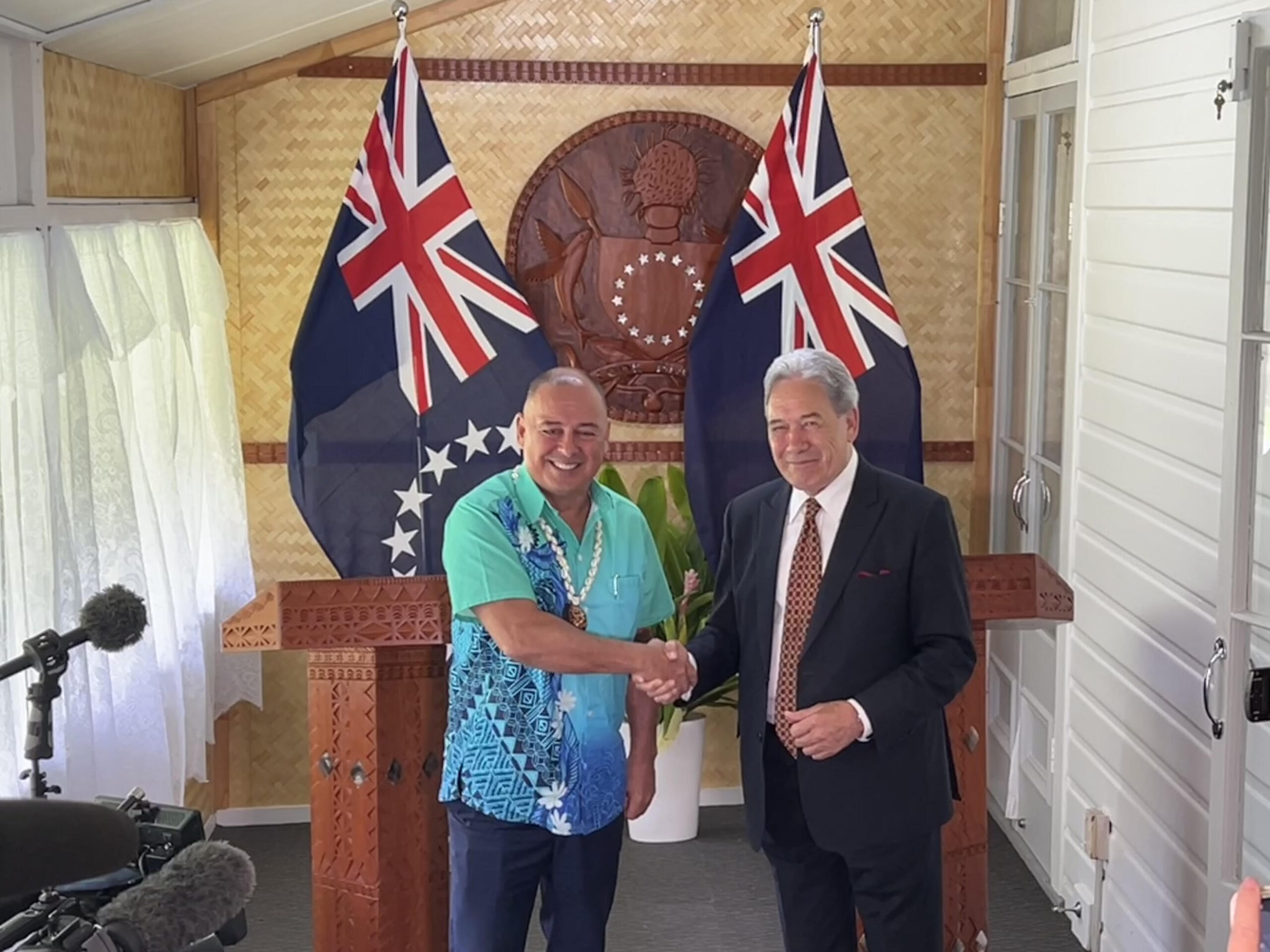
‘Nothing to worry about’: Prime Minister Brown on China agreement
16 February 2025

‘Serious questions’: Opposition challenges China partnership
15 February 2025

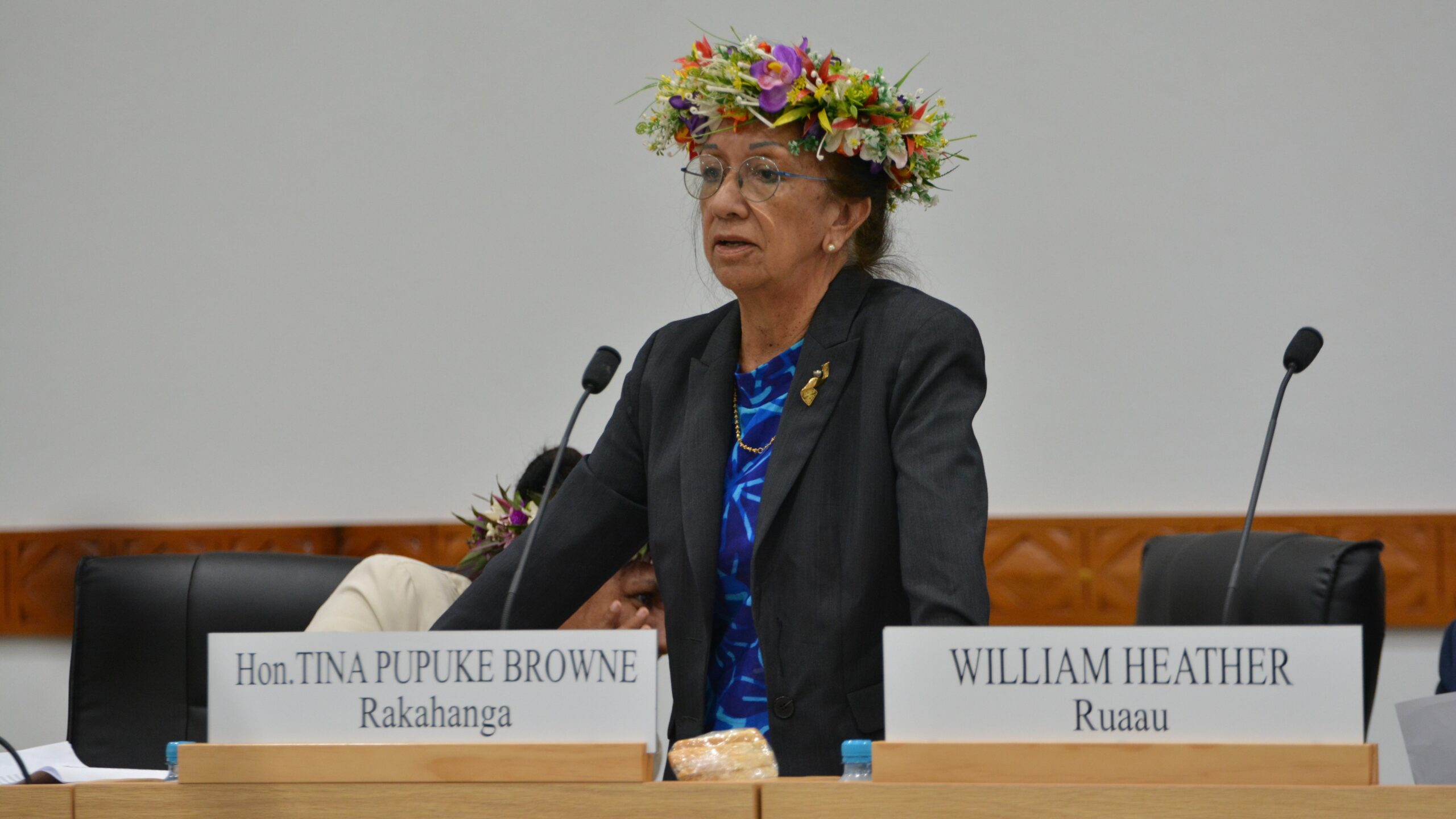
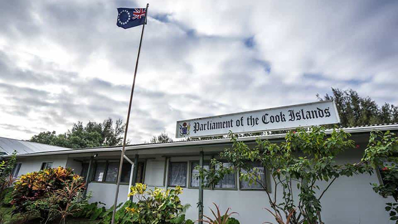
No-confidence motion against PM and his Cabinet faces delays
15 February 2025


Ruta Mave: People’s Republic of China red flag
10 February 2025

No debt in China deal
8 February 2025

Thomas Wynne: Haka with the taniwha or dance with the dragon?
8 February 2025

‘Paedophile’ gets 13 years in prison
22 January 2025
Thomas Wynne: Where were our leaders while children suffered?
25 January 2025


$541.7m tourism earnings
25 January 2025

Cook Islands passport proposal
6 January 2025


Top cop position advertised
7 December 2024

Police need numbers and bigger budget
9 December 2024

Niki Rattle: A call for stronger human rights protections
10 December 2024

Solid and Hazardous Waste Bill referred to Parliament committee
10 December 2024


DPM defends CIIC finance and travel policies
6 December 2024


Cook Islands has its first mosque
14 November 2024

CI Muslim opens up about her faith and journey
16 November 2024

RAC to address mosque legality
19 November 2024

I don’t expect much change: PM Brown on US Elections
6 November 2024


Fifth weekly Sydney flight to Rarotonga announced
23 October 2024
CIIC directors seek $350,000 in damages over defamatory claims
21 October 2024
Man found guilty of rape, burglary
24 September 2024

Tenants face water bill burden
8 October 2024


Concerns over Minister’s role in inmate work releases: PAC
5 October 2024

Tourism contribution set to surpass half-billion dollar mark
25 September 2024
Anxiety on the rise: Cook Islands faces mental health challenge
7 September 2024

MCI rejects ‘dark fleet’ label
3 August 2024
PACIFIC – Australia’s Bureau of Meteorology (BoM) has released modelling showing the latest El Niño cycle is over, but could now lead to a wet winter after a devastating 14 months of drought and famine across the Pacific.
Rains have returned to many of the nations badly hit by the so-called “Godzilla” El Niño event, but replanting and food stocks remain tight.
In Papua New Guinea, where hundreds of thousands have suffered under drought conditions since March 2015, water quality remains very poor, while it is predicted that severe food shortages will continue through the first half of 2016.
On the other side of the Pacific, piles of dead whales, salmon, sardines and clams blamed on the weather phenomenon clogged Chile’s beaches in recent months.
In the north, Palau saw depleted rivers and dams, forcing the government to declare a state of emergency, appeal for overseas aid, and signal the loss of most of the unique inhabitants of its Jellyfish Lake.
The Chilean fisheries institute IFOP classed the El Niño as “one of the most intense in the past 65 years”.
Elise Chandler, a climate scientist at BoM, said the tropical Pacific Ocean has returned to neutral and more normal conditions can be expected for the next few months at least.
“Over the last few weeks it’s gone back into that neutral area in both the oceans and the atmosphere, indicating that the event is now finished,” Chandler told Pacific Beat.
“During an event they both work together to sustain an El Niño or a La Niña, and their associated conditions. Since April we have seen that coupling has wound down.”
The bureau’s modelling shows ocean surface temperatures across the tropical Pacific have cooled to neutral levels over the past fortnight. Waters beneath the surface have also cooled.
But the charity Care Australia said the regional emergency was far from over.
“The rains have returned in some parts, but millions are still dealing with severe food shortages that have resulted in successive failed harvests,” said Care Australia’s emergency response coordinator, Stefan Knollmayer, in a statement.
He added that flooding La Niña rains raised the potential for an increase in waterborne disease.
Forecaster Michael Knepp told the ABC that conditions were back to neutral and the bureau was now on La Niña watch, where rainfall in winter and spring is above average.
“That’s not a certain thing, just something to keep an eye on over the next few months,” he said.
Chandler said while there was about a 40 per cent chance of a La Niña developing historically after an El Niño event, BoM’s climate models have this probability a little bit higher.
“There’s quite a lot of cool water below the surface in the Pacific, so we’re estimating there’s about a 50 per cent chance of a La Niña developing over the next few months,” she said.
La Niña signals higher than average rainfall, which could lead to extensive floods.
“Unfortunately we get the opposite of what we experience during El Nino, so for those countries in the South Pacific like Fiji, Tonga and Vanuatu – which have had a long dry period – typically they’ll get wetter conditions,” Chandler said.
“Places like Tuvalu and Kiribati, which experienced near-record rainfall over the past 12 months, that’s likely to decline and conditions are likely to dry out.
“Unfortunately, the dry conditions experienced through the far South Pacific are expected to continue on towards the end of the year.”
- Pacific Beat