Swell warning remains in place for Southern Group
Thursday 21 July 2022 | Written by Caleb Fotheringham | Published in National, Weather
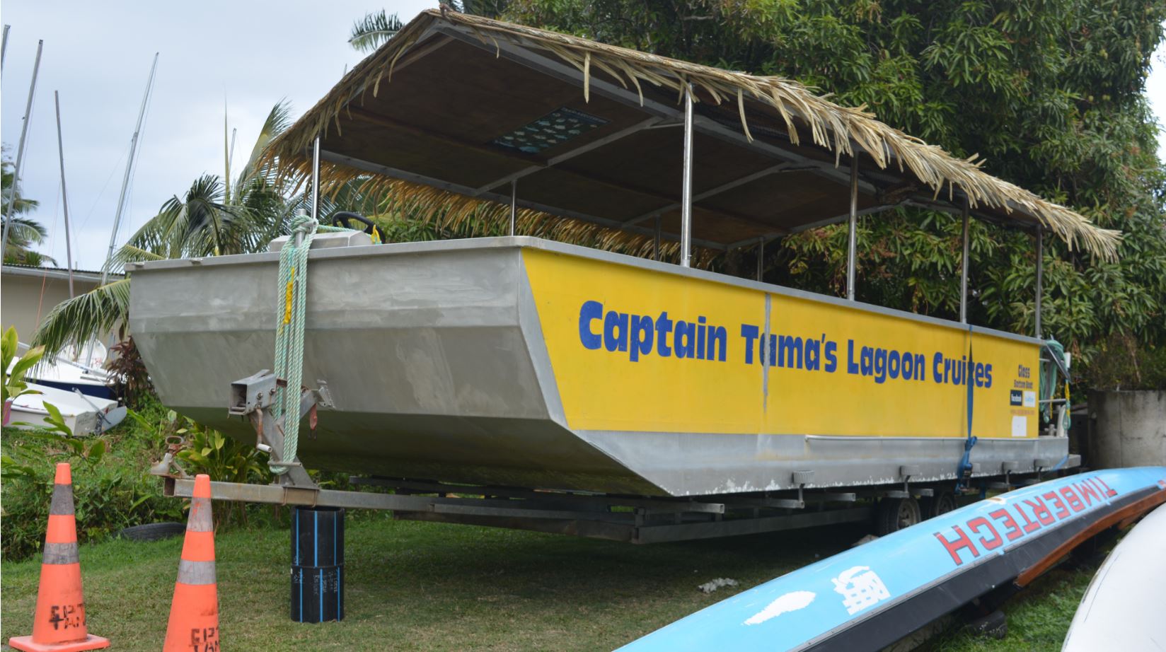
Captain Tama’s Lagoon Cruise boat got pulled out of the water on Tuesday because of the rough weather. SUPPLIED/22072041
Cook Islands Meteorological Service still has a damaging heavy swell warning in place for the Southern Group islands including Rarotonga despite near normal conditions yesterday.
Efforts to get further clarification on the warning from Met Service director Arona Ngari last night proved futile.
A strong wind warning is also in place for the land areas and waters of the southern Cook Islands.
Peak wave conditions were forecast for yesterday afternoon from 2pm to 4pm. Waves were forecast to reach 4.5 metres with the lagoon water level being half a metre higher than normal.
This morning’s high tide from 2.30am to 4.30am was another high risk time.
Meanwhile, scientist Connon Andrews at New Zealand’s National Institute of Water and Atmospheric Research (NIWA) told RNZ the large waves the caused damage in Rarotonga last week was a common phenomenon that was exacerbated by sea level rising.
“The issue is that it’s just a very strong event that coincides with high tides, but with climate change, of course, there is an increase in sea levels that will exacerbate the indentation going forward,” Andrews said.
“It consistently happens all the time. There’s no real seasonality to it, the issue is that it’s just a very strong event that coincides with high tides.”


