ICI spearheading mapping work of land and marine areas
Monday 23 May 2022 | Written by Supplied | Published in Local, National
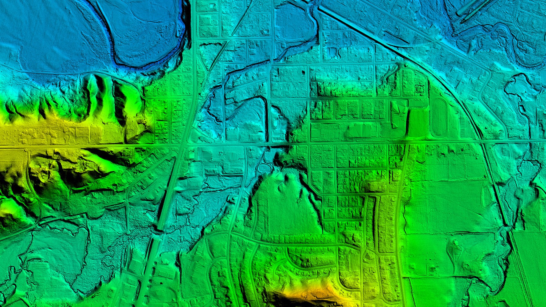
Photo: Supplied
Infrastructure Cook Islands (ICI) has commissioned a contract with American company Woolpert to undertake LiDAR (Light Detection and Ranging) mapping work of the land and marine areas up to 35 metres depth across the Cook Islands.
Representatives from Woolpert are expected to land in Rarotonga in early July and the mapping work is scheduled to be completed in October, a statement from ICI said.
The current budget for the project is approximately $4 million and is funded by the New Zealand Ministry of Foreign Affairs and Trade and the Green Climate Fund. All 15 islands are identified for the project scope including Takutea, Manuae and Suwarrow.
ICI project manager Jake Langdon was previously working at the West Coast Regional Council in New Zealand and was involved with the procurement of a similar LiDAR project there.
“LiDAR stands for Light Detection and Ranging and is a remote sensing method that uses light in the form of a pulsed laser to measure variable distances to the Earth. The laser is mounted under a specialised aircraft and is flown over landscapes and marine areas to capture the data. These light pulses put together with the information collected by the airborne system, generate accurate 3D information about the earth’s surface or the target object. Buildings, tree canopy, other groundcover and underwater formations are captured,” said Langdon.
The LiDAR images will provide benefits across sectors for the Cook Islands and both for public and private sector use.
“The imaging is used to understand the landscapes and therefore enable better management and planning,” adds Langdon.
ICI is holding discussions with other agencies across environment, infrastructure, climate change, justice and disaster management to ensure good stakeholder engagement and sharing of information. The images will be available to both public and private sector.
“For environmental uses, the LiDAR images can enhance our understanding of land use and it’s change overtime, for transport, the data can improve our understanding of optimal transport paths and for emergency management, the data can allow for the identification of areas most at risk to natural disaster before severe weather or impact strikes,” said Langdon.
“For ICI, improving our understanding of landforms underpins our physical work programmes. Our projects often enhance or manage the forces of nature, so having a highly accurate understanding of the land, particularly for our distant Pa Enua, ensures our planning and design work is as effective as possible, right from the start of the project,” adds Langdon. “We are very grateful for the financial assistance provided by MFAT and the GCF and are looking forward to having the modelling completed and making use of it.”


