

More Top Stories


$12.9m approved for solar battery project, NZ confirms
12 March 2025

Crown Law Office on track for record number of lawyers
12 March 2025


‘Nothing to worry about’: Prime Minister Brown on China agreement
16 February 2025

‘Serious questions’: Opposition challenges China partnership
15 February 2025

No-confidence motion against PM and his Cabinet faces delays
15 February 2025


Ruta Mave: People’s Republic of China red flag
10 February 2025

No debt in China deal
8 February 2025

Thomas Wynne: Haka with the taniwha or dance with the dragon?
8 February 2025

‘Paedophile’ gets 13 years in prison
22 January 2025
Thomas Wynne: Where were our leaders while children suffered?
25 January 2025


$541.7m tourism earnings
25 January 2025

Cook Islands passport proposal
6 January 2025


Top cop position advertised
7 December 2024

Police need numbers and bigger budget
9 December 2024

Niki Rattle: A call for stronger human rights protections
10 December 2024

Solid and Hazardous Waste Bill referred to Parliament committee
10 December 2024


DPM defends CIIC finance and travel policies
6 December 2024

Cook Islands has its first mosque
14 November 2024

CI Muslim opens up about her faith and journey
16 November 2024

RAC to address mosque legality
19 November 2024

I don’t expect much change: PM Brown on US Elections
6 November 2024


Fifth weekly Sydney flight to Rarotonga announced
23 October 2024
CIIC directors seek $350,000 in damages over defamatory claims
21 October 2024
Man found guilty of rape, burglary
24 September 2024

Tenants face water bill burden
8 October 2024


Concerns over Minister’s role in inmate work releases: PAC
5 October 2024

Tourism contribution set to surpass half-billion dollar mark
25 September 2024

Anxiety on the rise: Cook Islands faces mental health challenge
7 September 2024

MCI rejects ‘dark fleet’ label
3 August 2024
Ministries trained in real-time mapping software
Tuesday 4 December 2018 | Written by Jaimie Keay | Published in Local
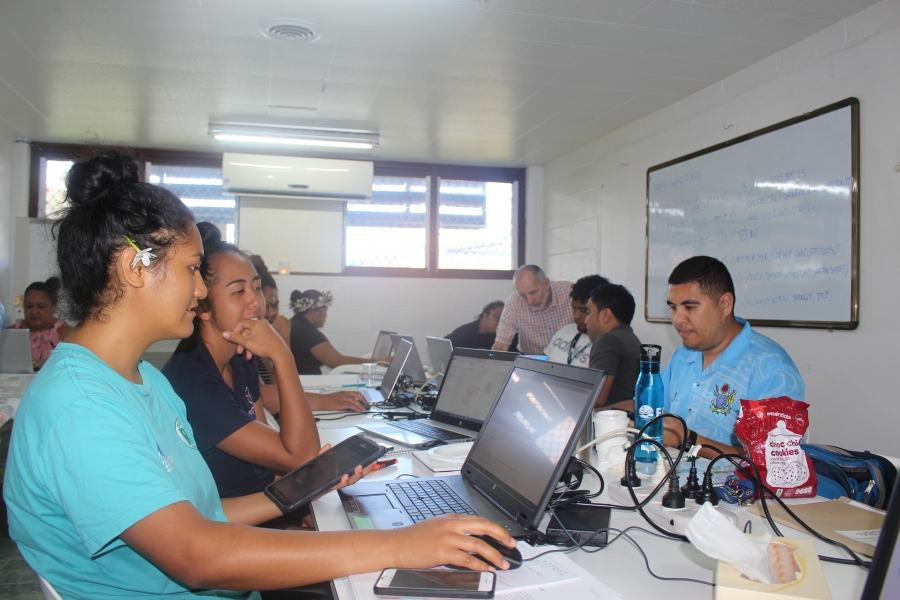
Government departments are being trained in mapping software to give them access to real-time data for the entire Cook Islands.
A new high-tech software platform being rolled out across government departments will allow workers in the field access real-time mapping information on their smart devices, phones or tablets for the entire Cook Islands, on land or sea.
A new high-tech software platform being rolled out across government departments will allow workers in the field access real-time mapping information on their smart devices, phones or tablets for the entire Cook Islands, on land or sea.
To continue reading this article and to support our journalism
CLICK HERE TO SUBSCRIBE NOW
for as little as $11 per month.
- Up to date and breaking news
- Includes access to Premium content
- Videos and online classifieds
Already a subscriber, click here