

More Top Stories


$12.9m approved for solar battery project, NZ confirms
12 March 2025

Crown Law Office on track for record number of lawyers
12 March 2025


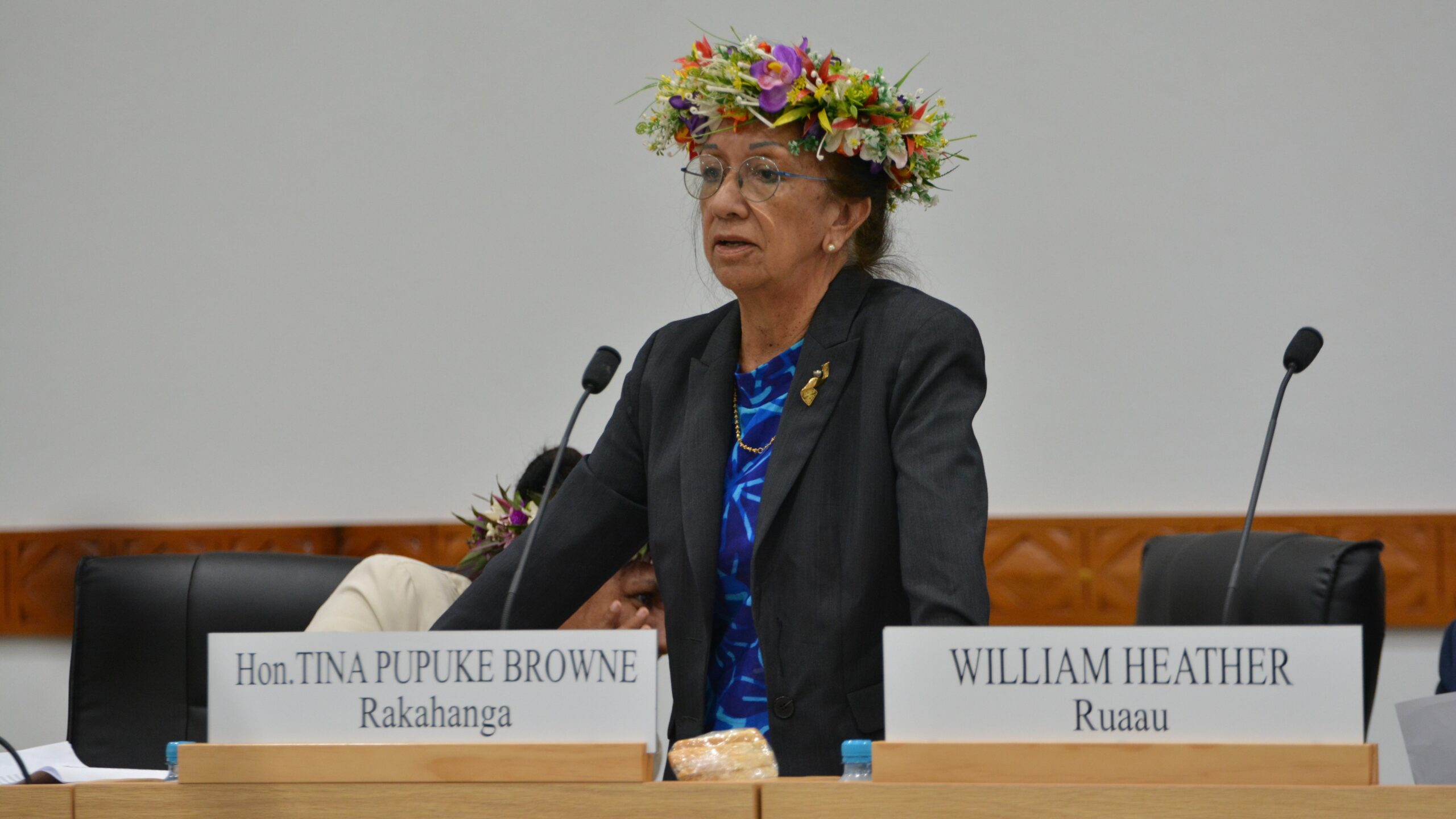
‘Nothing to worry about’: Prime Minister Brown on China agreement
16 February 2025

‘Serious questions’: Opposition challenges China partnership
15 February 2025

No-confidence motion against PM and his Cabinet faces delays
15 February 2025


Ruta Mave: People’s Republic of China red flag
10 February 2025

No debt in China deal
8 February 2025

Thomas Wynne: Haka with the taniwha or dance with the dragon?
8 February 2025

‘Paedophile’ gets 13 years in prison
22 January 2025
Thomas Wynne: Where were our leaders while children suffered?
25 January 2025


$541.7m tourism earnings
25 January 2025

Cook Islands passport proposal
6 January 2025


Top cop position advertised
7 December 2024

Police need numbers and bigger budget
9 December 2024

Niki Rattle: A call for stronger human rights protections
10 December 2024

Solid and Hazardous Waste Bill referred to Parliament committee
10 December 2024


DPM defends CIIC finance and travel policies
6 December 2024


Cook Islands has its first mosque
14 November 2024

CI Muslim opens up about her faith and journey
16 November 2024

RAC to address mosque legality
19 November 2024

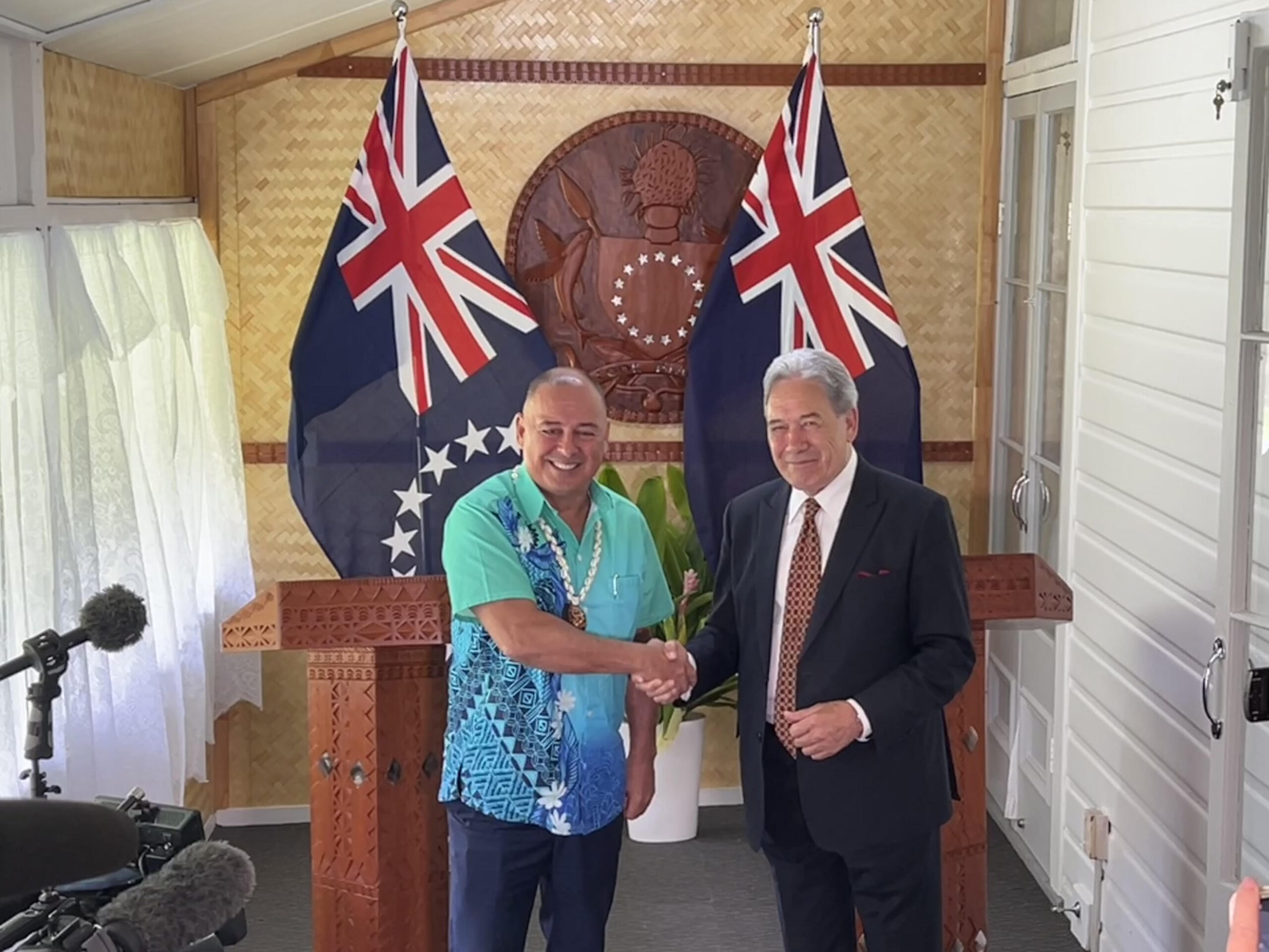
I don’t expect much change: PM Brown on US Elections
6 November 2024


Fifth weekly Sydney flight to Rarotonga announced
23 October 2024
CIIC directors seek $350,000 in damages over defamatory claims
21 October 2024
Man found guilty of rape, burglary
24 September 2024

Tenants face water bill burden
8 October 2024


Concerns over Minister’s role in inmate work releases: PAC
5 October 2024

Tourism contribution set to surpass half-billion dollar mark
25 September 2024
Anxiety on the rise: Cook Islands faces mental health challenge
7 September 2024

MCI rejects ‘dark fleet’ label
3 August 2024
Rarotonga braces for more rain,flood risk
Saturday 15 February 2025 | Written by Talaia Mika | Published in National, Weather
The weekend and the beginning of next week are expected to experience brief showers due to an active cloud band approaching Rarotonga from the east.
Ma’ara Vaiimene, director of the Cook Islands Meteorological Service, explained that cloudy periods with occasional rain, heavy at times, will continue for the next few days.
Given the recent heavy rainfall in Rarotonga, the saturated ground increases the possibility of localised flooding, according to Vaiimene.
The hot and humid conditions in the past week and days are indications of onset rainy weather conditions.
“Currently, an active area of cloud band extending from Fiji to the west to just south of Tahiti to the east of Rarotonga, lies slow moving near the Southern Cooks moving north and south and has been in this position for the last few days and will continue to be in this location throughout the weekend and start of the new week from Monday 17th,” Vaiimene explained yesterday.
Cook Islands’ current wet/summer/tropical cyclone season runs from November to April. February and March are normally the peak season for severe weather conditions, including more rainy days and fewer sunny days.
Climate drivers known as El Nino (dry conditions/less rainfall) and La Nina (wet conditions/more rainfall) affects the weather pattern during this time.
Vaiimene said: “During the year of 2024, we came through an El Nino like weather conditions with less rainfall more fine days, where Rarotonga experienced low water pressure more so in elevated areas.”
He explained that the 2025 climate outlook leans toward a weak La Nina phase starting in January, “and halfway through February have received a good amount of rainfall here on Rarotonga”.
“While the rain has been a blessing for most in terms of low water pressure, however it can be a problem in other areas,” Vaiimene said.
“Ensuring homes are safe in case of flooding, roadside drains are clear of rubbish not someone else’s responsibility but we as a community to do our part.”