Palmerston Island braces for impact as Cyclone Osai lingers
Thursday 8 February 2024 | Written by Losirene Lacanivalu | Published in National, Outer Islands, Weather

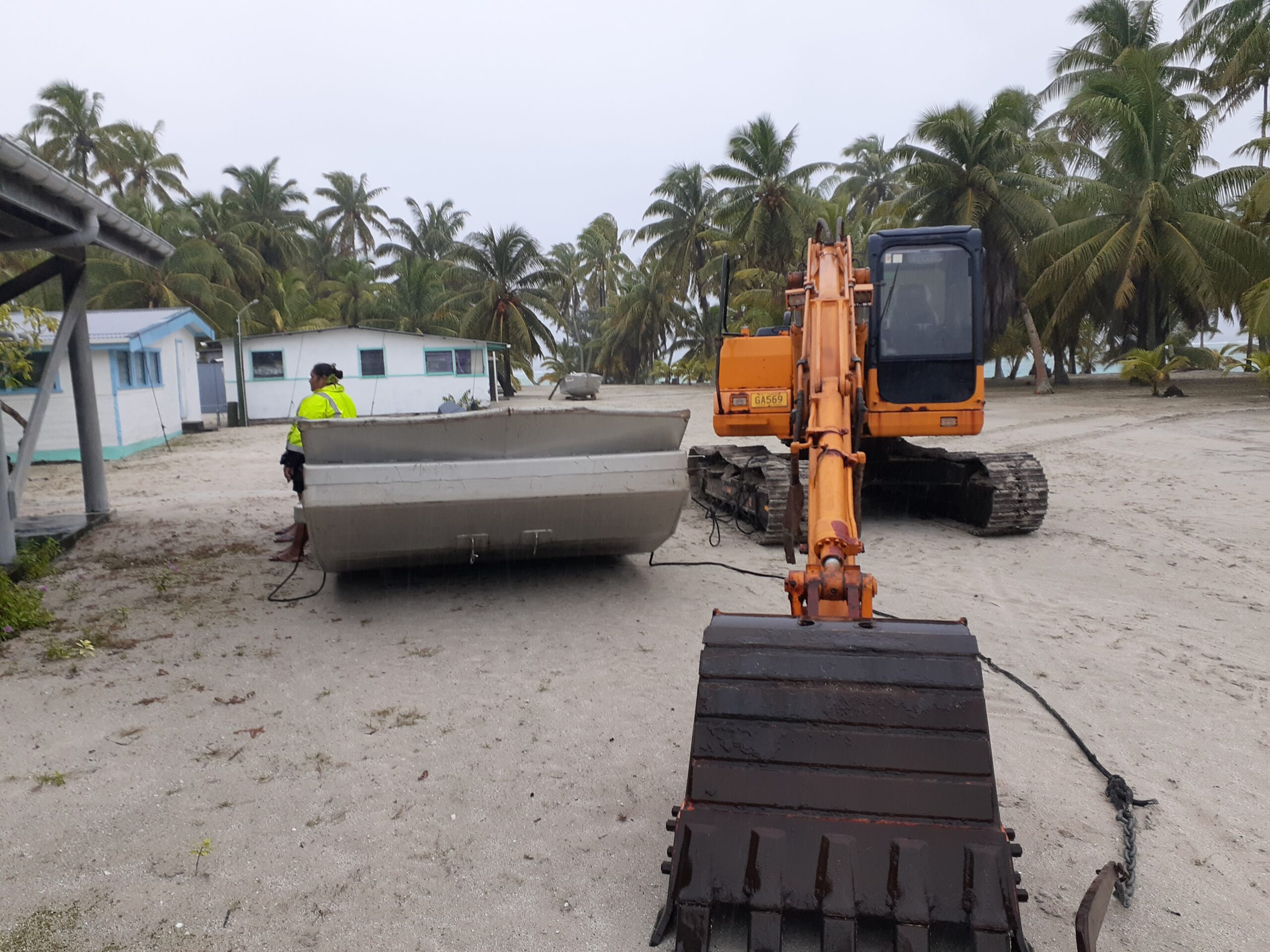
Island barge and excavator secured next to the water catchment on Palmerston Island. Arthur Neale /24020739
Southern Cook Islands remained under threat as Tropical Cyclone Osai circled closer to Palmerston Island yesterday afternoon.
This is the second tropical cyclone, after TC Nat, to affect the Pa Enua this week, with TC Nat heading towards French Polynesia.
While the Fiji Met Office predicted a different track for TC Osai, moving it towards Niue, the Cook Islands weather office yesterday reported the cyclone was still “going around in circles”. They noted discrepancies between Fiji and Australian models.
Operation observer Nathan Tisam told Cook Islands News last night that TC Osai was near Palmerston Island, with no clear direction of movement, but satellite images suggested it would weaken within hours.
He predicted it could be over by today.
Palmerston Island resident Julianna Marsters reported consistent rain and winds up to 30-40 knots.
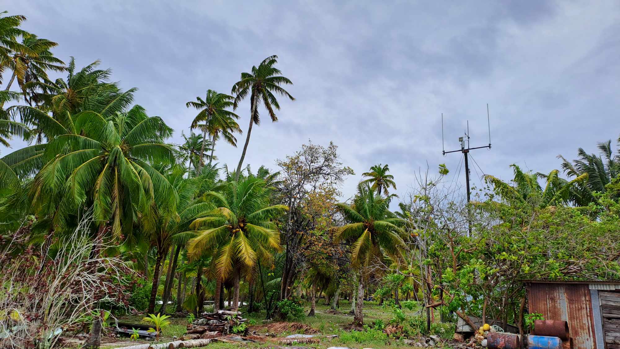
While strong winds damaged tree branches, no homes were affected. Residents had already secured boats, homes, and other belongings.
Five people monitored the coast and inland areas, she said.
Palmerston Island executive officer Arthur Neale said they experienced little impact from the first cyclone, TC Nat.
From TC Osai, they had heavy rain and strong winds up to 25 knots in the morning, along with rough seas.

Palmerston Islands. JULIANNA MARSTERS / 24020733 / 24020734 / 24020735
“We moved all our boats, island barge and excavator to high ground. We’ve had no rain all afternoon but moderate to strong winds from the north east. The wind seems to be easing this evening,” Neale said.
Neale said all households were “prepped ready” to move to the emergency evacuation centre if required.
“All our services are operating as normal except for Vodafone. We have to access the internet via Vodafone Wi-Fi hotspot,” he added.
“We’re all well and keeping safe.”
Emergency Management Cook Islands (EMCI) director John Strickland yesterday said that Tropical Depression TD08F intensified into category one Tropical Cyclone Osai overnight, located 250 kilometres northwest of Palmerston. The cyclone was expected to strengthen to category two and continue on a southeastern track.
Strickland said the forecast showed TC Osai passing 125 kilometres west of Palmerston yesterday evening, before slowing and stalling about 150 kilometres to the southwest throughout today. He warned of coastal inundation in Palmerston due to rising seas.
“Seas and swell would be variable for Aitutaki and Rarotonga over the coming 48 hours from (yesterday) morning, with a chance of experiencing some bursts of larger wave conditions at times.”
Northern Cook Islands were expected to experience strong north westerly winds reaching 20-30 knots, along with rough seas.
The weather office cancelled the strong wind warning for Aitutaki, Ngaputoru Island, and the rest of the Southern Cook Islands, but predicted further rain and thunderstorms there.
Cook Islands Meteorological Service had predicted two to three cyclones for the 2023/24 season which ends in April this year.


