Tropical Cyclone Pita downgraded to a low pressure, strong winds and heavy rain continue
Saturday 11 January 2025 | Written by Talaia Mika | Published in National, Weather

The calm before the storm … Tourists enjoying the calmer seas yesterday. 25011012
Cook Islands Meteorological Service has confirmed this morning that Tropical Cyclone Pita has now been downgraded to a low pressure.
As of yesterday, TC Pita was a Category 1 storm that was rapidly approaching the Cook Islands group last night and expected to impact Rarotonga and the Southern Group this weekend bringing with it strong winds, heavy rain and hazardous swells to the region.
Maara Vaiimene, director of the Cook Islands Meteorological Service, told Cook Islands News yesterday that the cyclone, the first South Pacific cyclone of the year, was tracking towards Rarotonga. It was expected to pass approximately 200 to 400 kilometres west of the island, starting last night.
“The cyclone will be closest to Rarotonga early (this) morning and throughout most of Saturday,” Vaiimene told Cook Islands News.
Vaiimene also said that the storm is expected to move on towards Atiu and Mangaia by Saturday evening and will be to the east of Rarotonga by Sunday morning, continuing its southeastward journey away from the Southern Cook Islands by late Sunday night.
Although the system was moving fast, the cyclone is not expected to intensify further, with the Met Office predicting minimal development due to the storm's lack of structure.
“Cyclone is category one and based on the updated forecast, there is a low chance of the cyclone intensifying. Because the system is moving pretty fast, quite quickly hence that the cyclone will only be within our region for a day or two,” Vaiimene explained.
“However, the Cook Islands Met Service with the assistance of the Fiji Met Service will continue to issue a strong wind warning for high seas especially during high tide and our high tides are from the evening, 6pm and 6am.
“We’ll continue to monitor the system until it has passed through the far east of Rarotonga.”
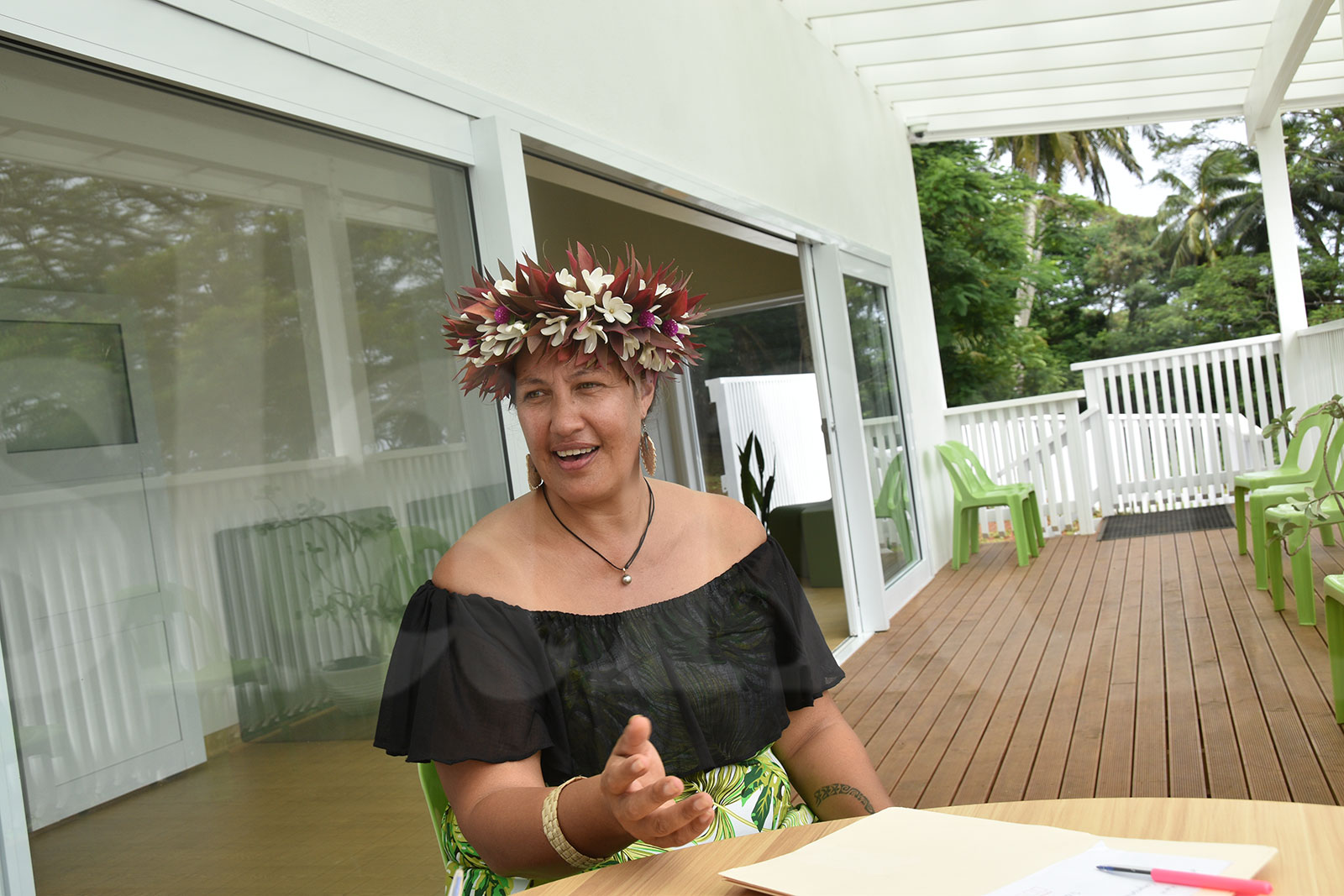
Nathan Tisam, quality assurance officer at the Cook Islands Meteorological Service, urged residents, particularly those on Rarotonga, to take precautionary measures.
“Secure all loose items around your property, such as roofing sheets and furniture, as they could become projectiles in the strong winds,” Tisam advised.
Coastal areas, including the region from Nikao to Vaimaanga, are expected to bear the brunt of the weather conditions, with high-risk areas for flooding and inundation.
“It is better to be safe than sorry. We’re encouraging everyone to heed these warnings for their own safety,” Tisam emphasised.
Emergency Management Cook Islands (EMCI) has also issued warnings for the public, advising people to stay indoors and avoid coastal areas due to the expected high waves and potential flooding.
It has also outlined a number of preparedness actions for residents: securing loose items, avoiding coastal areas, and stocking up on essentials such as food, water, batteries, and first aid supplies.
EMCI has warned that heavy rain and damaging swells could lead to flooding in low-lying areas, especially around high tides.
In Aitutaki, mayor Nick Henry said the island’s cyclone preparations started in November 2024 with village tree pruning and assisting some homes with roof tie downs.
Henry said that an analysis of existing cyclone shelters was led by Tautu Island Council member Twin Ruarangi and the infrastructure team and most of the works required on these has been completed.
“While we prepare for Cyclone Pita the current forecast path (from Fiji Met service) has it running south of Rarotonga and reducing to a tropical low by around 8pm Saturday night local time,” Henry said.
“Currently in Aitutaki, we are receiving squally weather with heavy gusts and downpours and can expect more of the same for the next 24 hours or so. All lagoon tours have been suspended until the weather clears,” he said yesterday.
Aitutaki MP Teokotai Herman also told Cook Islands News that a container vessel has been anchored outside of Aitutaki since the adverse weather conditions began this week.
Herman said people needed to be vigilant until the end of the cyclone season. The cyclone season runs from November through to April.
The risk of tropical cyclone activity for the Southern Cook Islands is “reduced” and “unlikely” for the Northern Cook Islands, according to New Zealand’s National Institute of Water and Atmospheric Research (NIWA) and Metservice.
They forecast that six to 10 named tropical cyclones could occur in the region from November 2024-April 2025 in the annual Tropical Cyclone Outlook released in October 2024. The long-term average number of named TCs per season is around nine.
Additional reporting: Losirene Lacanivalu










Comments