

More Top Stories


$12.9m approved for solar battery project, NZ confirms
12 March 2025

Crown Law Office on track for record number of lawyers
12 March 2025


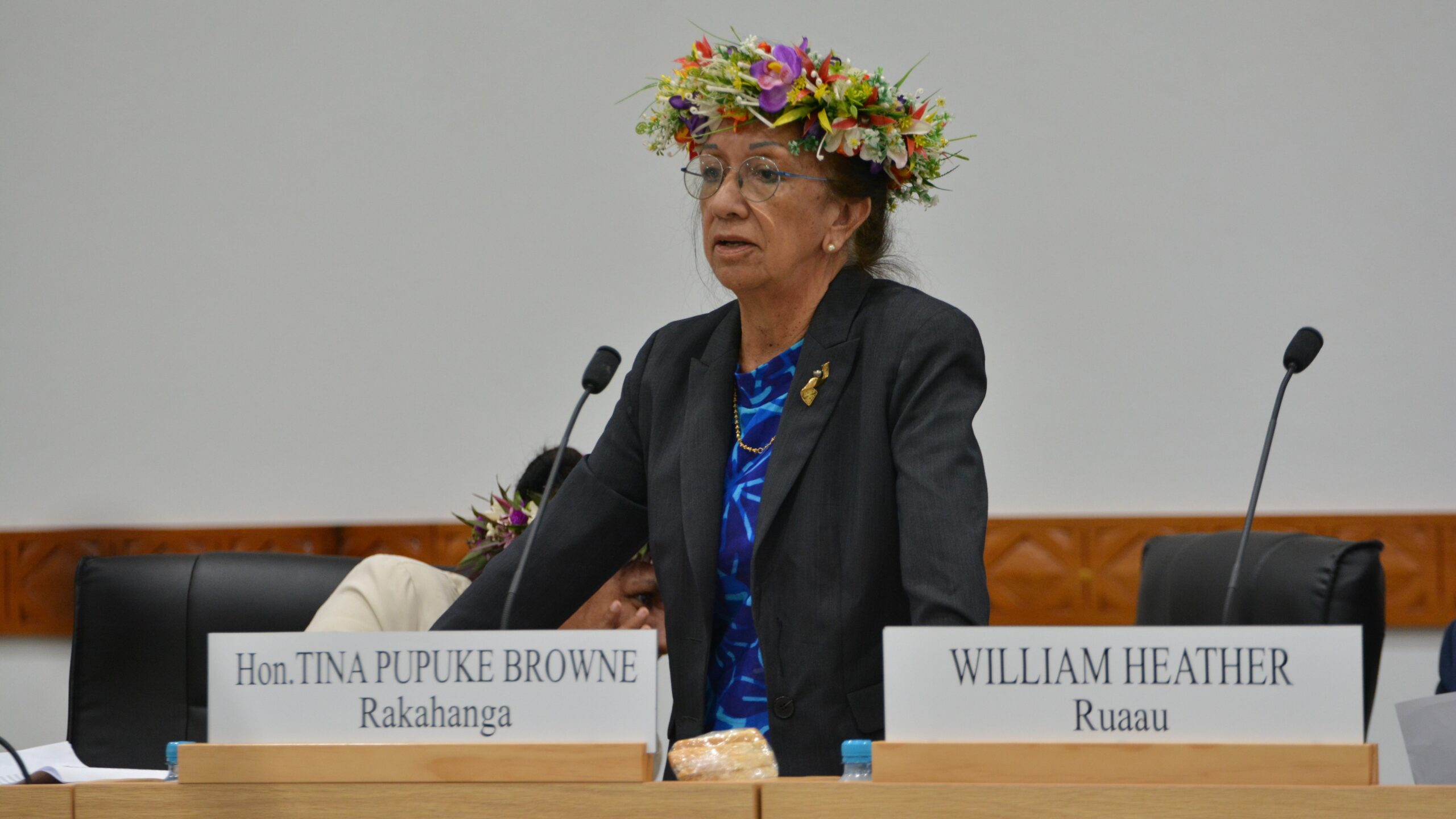
‘Nothing to worry about’: Prime Minister Brown on China agreement
16 February 2025

‘Serious questions’: Opposition challenges China partnership
15 February 2025

No-confidence motion against PM and his Cabinet faces delays
15 February 2025


Ruta Mave: People’s Republic of China red flag
10 February 2025

No debt in China deal
8 February 2025

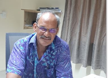
Thomas Wynne: Haka with the taniwha or dance with the dragon?
8 February 2025

‘Paedophile’ gets 13 years in prison
22 January 2025
Thomas Wynne: Where were our leaders while children suffered?
25 January 2025


$541.7m tourism earnings
25 January 2025

Cook Islands passport proposal
6 January 2025


Police need numbers and bigger budget
9 December 2024

Niki Rattle: A call for stronger human rights protections
10 December 2024

Solid and Hazardous Waste Bill referred to Parliament committee
10 December 2024


DPM defends CIIC finance and travel policies
6 December 2024

Cook Islands has its first mosque
14 November 2024

CI Muslim opens up about her faith and journey
16 November 2024

RAC to address mosque legality
19 November 2024

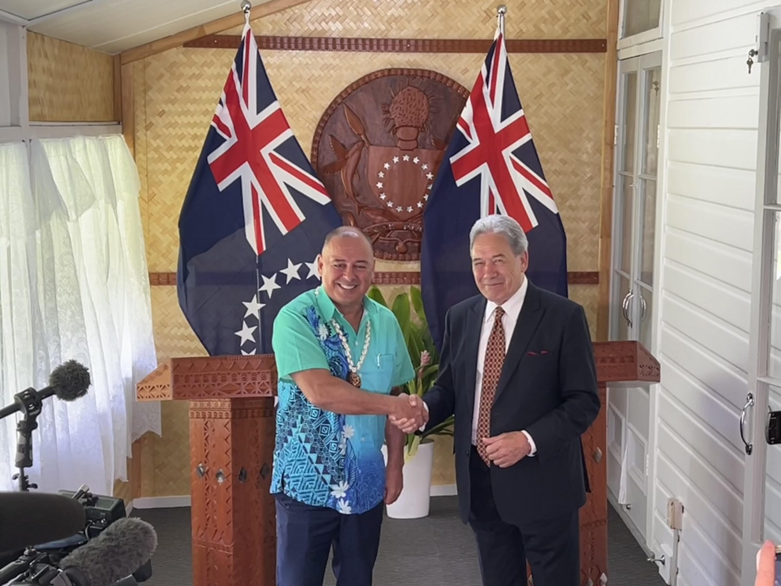
I don’t expect much change: PM Brown on US Elections
6 November 2024


Fifth weekly Sydney flight to Rarotonga announced
23 October 2024
CIIC directors seek $350,000 in damages over defamatory claims
21 October 2024
Man found guilty of rape, burglary
24 September 2024

Tenants face water bill burden
8 October 2024


Concerns over Minister’s role in inmate work releases: PAC
5 October 2024
Anxiety on the rise: Cook Islands faces mental health challenge
7 September 2024

MCI rejects ‘dark fleet’ label
3 August 2024
Emergency Management Cook Islands wins global award for GIS innovation
Friday 2 August 2024 | Written by Melina Etches | Published in Local, National, Weather

John Strickland, director of EMCI (left), and Stephano Rampling-Tou, EMCI geoportal coordinator, receive the prestigious Geospatial Information Systems (GIS) award at the world’s largest GIS conference, the Esri User Conference, in San Diego. SUPPLIED/24080132
Emergency Management Cook Islands (EMCI) has made history as the first Pacific island organisation to receive an international award for its innovative use of Geospatial Information Systems (GIS) technology.
EMCI, under the umbrella of the Office of the Prime Minister, was recently honoured with the prestigious award at the world’s largest GIS conference, the Esri User Conference in San Diego, USA, witnessed by an audience of 19,000 from 159 countries.
Stephano Rampling-Tou, EMCI geoportal coordinator, said: “We were both surprised and honoured that the news of our efforts has been recognised on the international stage by the biggest GIS organisations in the world.”
Rampling-Tou received the award last month alongside EMCI director John Strickland.
He said the award signified the efforts to create intelligence systems that would support emergency operations and ultimately protect and serve the people of the Cook Islands.
Strickland and Rampling-Tou have been sharing geospatial expertise around the Pacific region and have been requested to host training programmes to support regional partners in developing a system of their own.
“However, our focus remains on continuing the development to benefit our people first and foremost,” said Rampling-Tou.
In a nutshell, he explains GIS is an intelligence system relating everything to a geographic reference point whether it be space, land, ocean, or everything in between.
“From military intelligence, mapping EEZ or country boundaries, to Emergency Management, GIS influences decisions being made worldwide.”
GIS was first introduced in the Cook Islands around the 1990s, mandated under Infrastructure Cook Islands.
EMCI hosts an Esri Geospatial database and software available to government users with 100 licences and has access to many apps that allow for different user cases and data. This was first donated to the Cook Islands by Esri and Eagle Technology New Zealand in 2015 to support the work of Marae Moana and other conservational efforts in the country.
EMCI now spearheads this platform and has developed various data sets, in particular a dashboard that contains household information, critical infrastructure, statistics and information related to emergency management to support decision-making during a disaster.
It also contributes to prevention, preparedness, mitigation, response, recovery and reconstruction.
This dashboard was the award-winning element and contains many years of data from various agencies and GIS professionals in the Cook Islands who have contributed to its success.
“The long-term benefits are that we make the best decisions to protect our people and achieve the EMCI vision which is - A Safe, Resilient and Sustainable Cook Islands. Te Au Maru, Ketaketa, Turanga Roa o te Kuki Airani 2024,” said Rampling-Tou.